 Netherlands · 19th century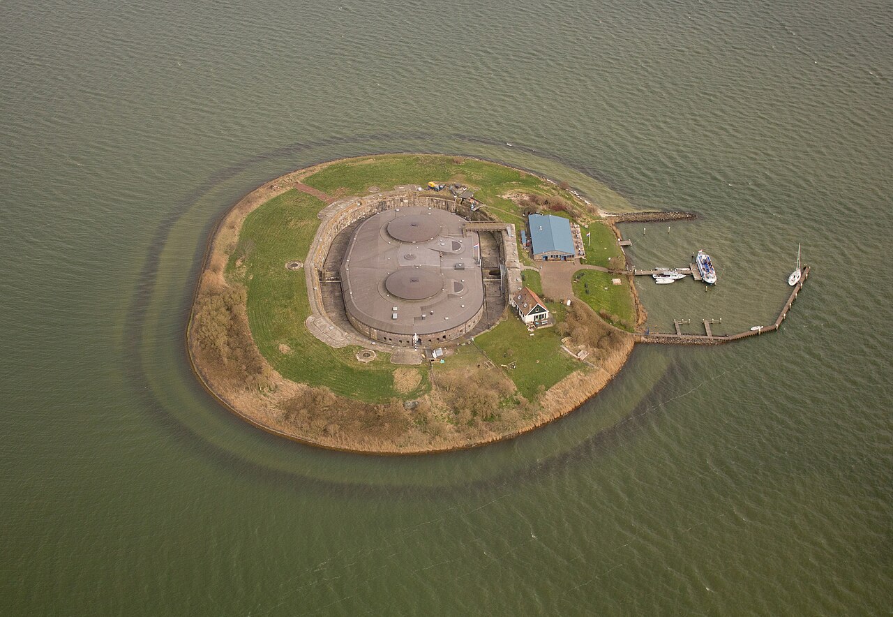
Pampus (Dutch pronunciation: [ˈpɑmpʏs]) is an artificial island and late 19th-century sea fort located in the IJmeer near Amsterdam. Pampus now belongs to the municipality of Gooise Meren and is open to visitors.
Together with the artillery battery on the lighthouse island near Durgerdam and the battery at the Diemer seawall, Pampus protected the entrance to IJ Bay and the harbour of Amsterdam. Pampus was part of the Defence Line of Amsterdam (Dutch: Stelling van Amsterdam). In 1996, UNESCO designated the entire Defence Line with its 42 forts a World Heritage Site.
Text adapted from “Pampus” on Wikipedia, CC BY-SA 4.0.
Pampus ranks #973 of 9,079 worldwide in the atlas's castle fame ranking, and #9 of the 199 mapped in Netherlands. Founded c. 1875, it is older than 5% of the atlas's dated landmarks — one of 717 atlas entries founded in the 19th century. Its Wikipedia articles were opened 6,342 times in the last 60 days, more than 89% of the atlas. 15 more atlas landmarks stand within 25 km. The nearest day-trip guide is Amsterdam, 13 km away. See how Netherlands compares in the castle statistics.
View on the interactive castle map →