Fortress
Petrovaradin Fortress
 Serbia · 18th century
- Founded
- 1780
- Heritage status
- Spatial Cultural-Historical Unit of Great Importance
- Location
- Petrovaradin
- Coordinates
- 45.2525°, 19.8625°
- Open data
- Wikidata Q2586088
- Links
- Wikimedia Commons

Description
Petrovaradin Fortress (Serbian: Петроварадинска тврђава, Petrovaradinska tvrđava, pronounced [pɛtrɔʋarǎdiːnskaː tʋř̩dʑaʋa]; Hungarian: Péterváradi vár), nicknamed "Gibraltar on/of the Danube", is a bastion fortress in the town of Petrovaradin, itself part of the City of Novi Sad, Serbia. It is located on the right bank of the Danube river. The cornerstone of the present-day southern part of the fortress was laid on 18 October 1692 by Charles Eugène de Croÿ. Petrovaradin Fortress has many tunnels as well as over 16 kilometres (9.9 mi) of preserved underground corridors and countermine system.
In 1991 Petrovaradin Fortress was added to Spatial Cultural-Historical Units of Great Importance list of the Republic of Serbia.
Text adapted from “Petrovaradin Fortress” on Wikipedia, CC BY-SA 4.0.
In the rankings
Petrovaradin Fortress ranks #540 of 9,902 worldwide in the atlas's castle fame ranking, and #3 of the 34 mapped in Serbia. Founded 1780, it is older than 14% of the atlas's dated landmarks, one of 757 atlas entries founded in the 18th century. Its Wikipedia articles were opened 9,765 times in the last 60 days, more than 94% of the atlas. 2 more atlas landmarks stand within 25 km. The nearest day-trip guide is Novi Sad, 3 km away. See how Serbia compares in the castle statistics.
Castles nearby
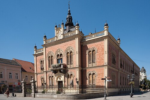
- Bishop's Palace (Novi Sad)1 km · Serbia
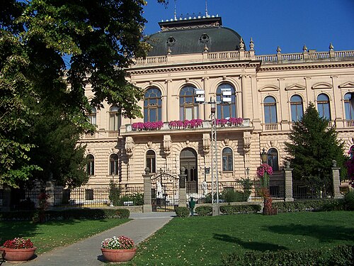
- Patriarchate Court (Sremski Karlovci)8 km · Serbia
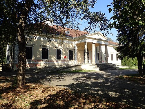
- Dunđerski Palace27 km · Serbia
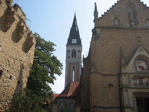
- Ilok Castle
 38 km · Croatia
More castles in Serbia
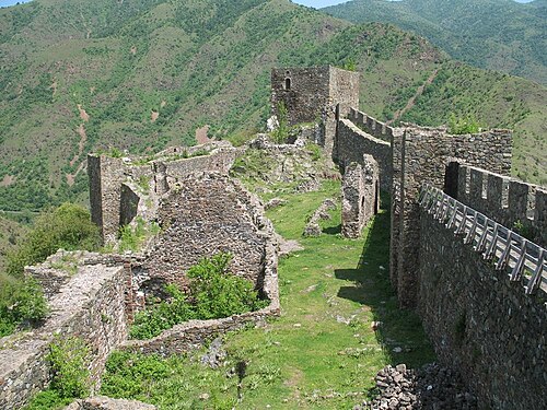
- MagličSerbia · 13th century
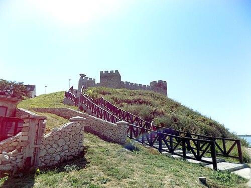
- Ram FortressSerbia · 15th century
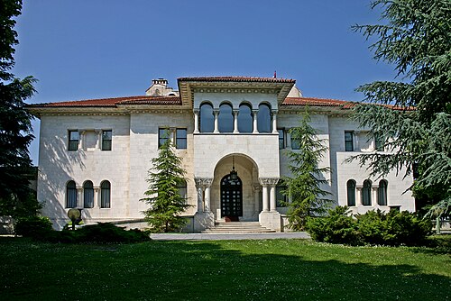
- Royal Palace (Belgrade)Serbia · 20th century
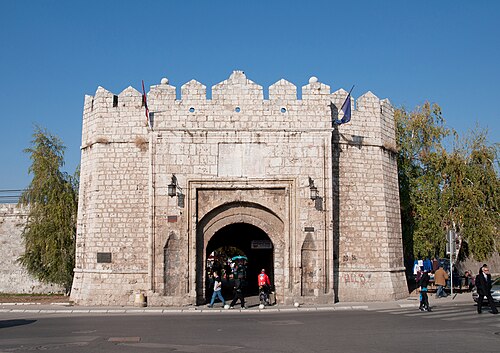
- Niš FortressSerbia · 18th century