Ruin
Amberd
 Armenia · 10th century
- Founded
- c. 1000
- Heritage status
- cultural heritage monument in Armenia
- Location
- Byurakan
- Elevation
- 2,300 m
- Coordinates
- 40.38873°, 44.22653°
- Open data
- Wikidata Q457057
- Links
- OpenStreetMap · Wikimedia Commons
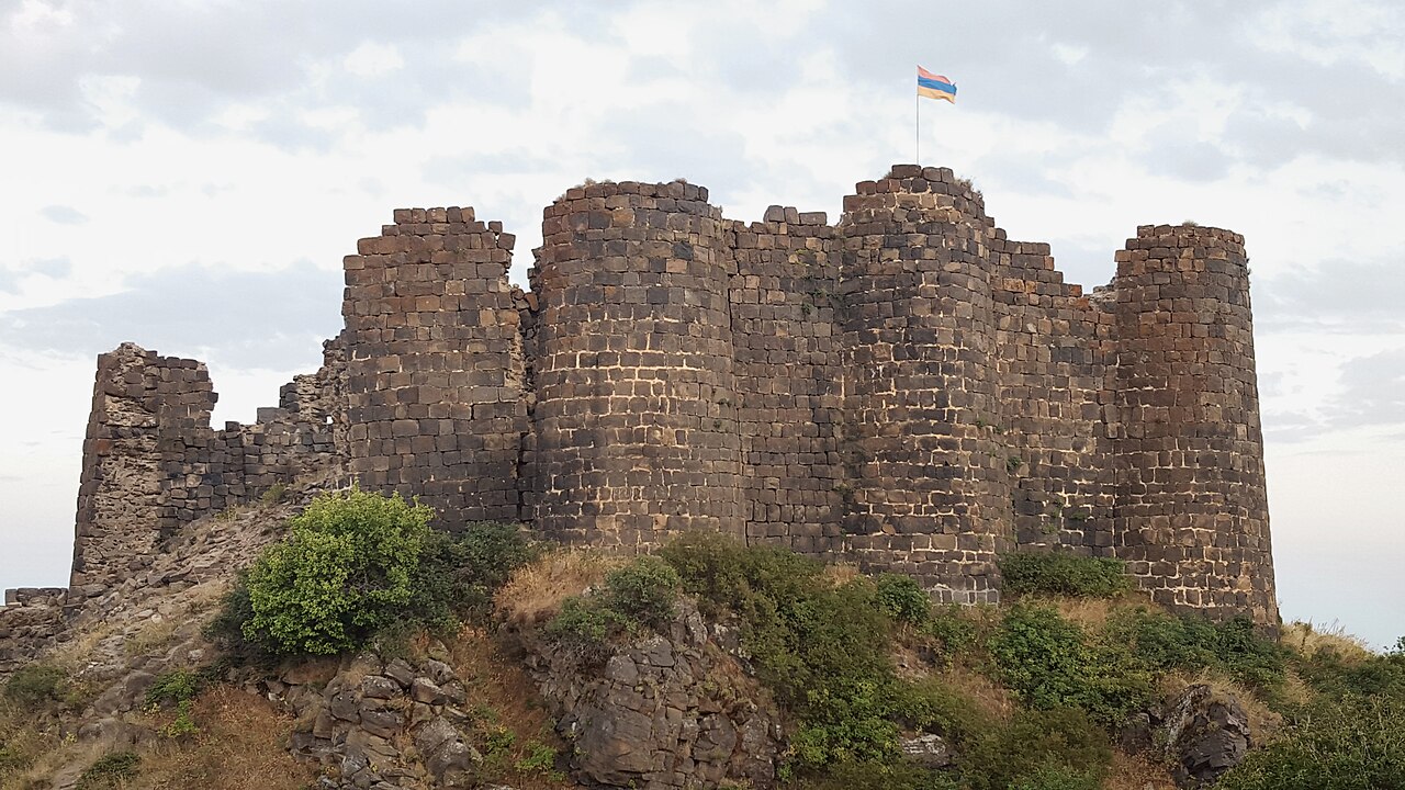
Description
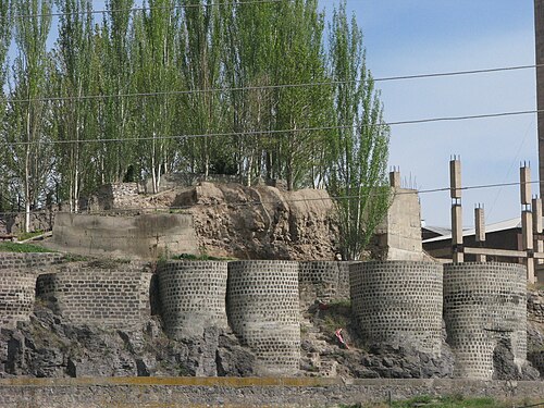
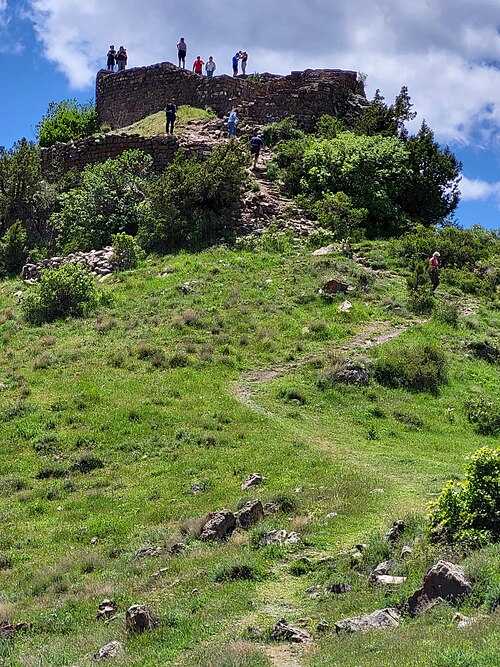
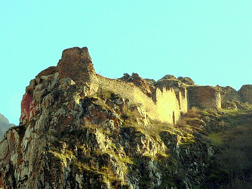
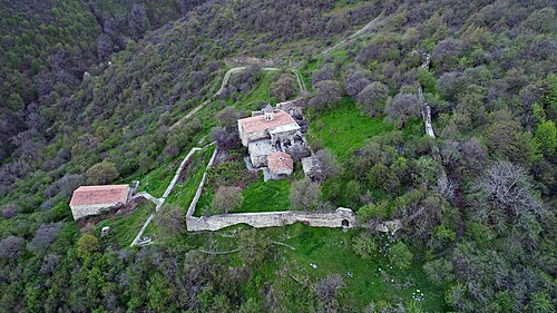
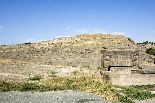
Amberd (Armenian: Ամբերդ) is a 10th-century fortress located 2,300 meters (7,500 ft) above sea level, on the slopes of Mount Aragats at the confluence of the Arkashen and Amberd rivers in the province of Aragatsotn, Armenia. The name translates to "fortress in the clouds" in Armenian. It is also the name incorrectly attributed to Vahramashen Church, the 11th-century Armenian church near the castle. The village of Byurakan is 6.4 kilometres (4.0 mi) from the site of Amberd.
In 2024, the pan-European Federation for Cultural Heritage Europa Nostra included Amberd, a medieval fortress, in the list of the 7 most endangered European monuments and heritage sites. The buildings of the complex may collapse due to age, lack of funding for reinforcing the structures, and because of erosion and earthquakes.
Text adapted from “Amberd” on Wikipedia, CC BY-SA 4.0.
In the rankings
Amberd ranks #915 of 9,902 worldwide in the atlas's castle fame ranking, and #2 of the 27 mapped in Armenia. Founded c. 1000, it is older than 91% of the atlas's dated landmarks, one of 206 atlas entries founded in the 10th century. Its Wikipedia articles were opened 3,835 times in the last 60 days, more than 85% of the atlas. 2 more atlas landmarks stand within 25 km. The nearest day-trip guide is Yerevan, 34 km away. See how Armenia compares in the castle statistics.
Castles nearby
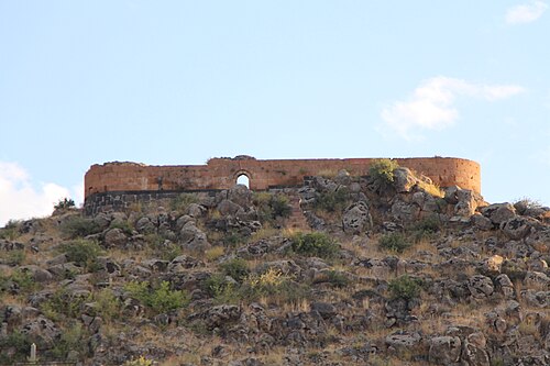
- Aghchka berd11 km · Armenia
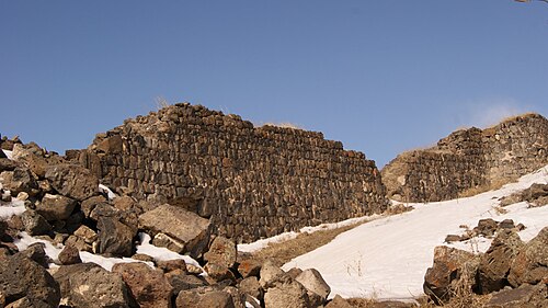
- Ushiberd12 km · Armenia
- Dashtadem Fortress32 km · Armenia
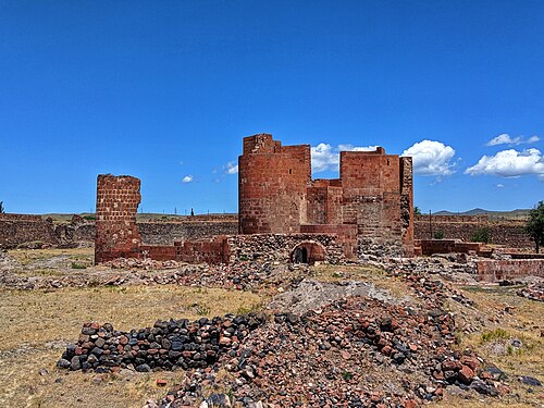
- Teishebaini (Karmir Blur)32 km · Armenia
More castles in Armenia
- Erivan FortressArmenia · 16th century
- SmbataberdArmenia · 5th century
- BaghaberdArmenia · 4th century
- Halidzor FortressArmenia · 17th century