Fortress
Poznań Fortress
 Poland · 19th century
- Founded
- 1828
- Heritage status
- immovable monument in Poland
- Location
- Poznań
- Coordinates
- 52.4219°, 16.9352°
- Open data
- Wikidata Q50127
- Links
- Wikimedia Commons
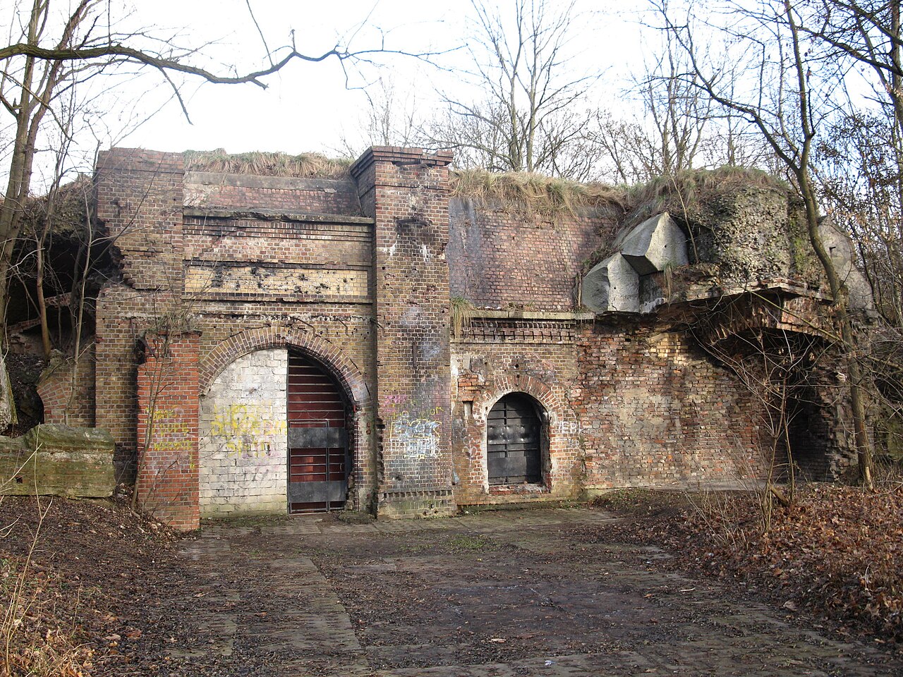
Description
Poznań Fortress, known in German as Festung Posen (Polish: Twierdza Poznań) was a set of fortifications in the city of Poznań (German: Posen) in western Poland, built under Prussian rule in the 19th and early 20th centuries. It represents the third largest system of its kind in Europe.
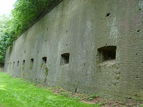
The first set of fortifications was a tight defensive ring around central Poznań, including the main citadel called Fort Winiary (now the Cytadela park). Construction of these fortifications began in 1828. Later, beginning in 1876, an outer defensive ring was built around the perimeter of the city, consisting chiefly of a series of "forts", which mostly still survive.
The term Festung Posen was also used by the Nazi German occupiers during the Red Army's advance in the closing phases of the Second World War, to refer to Poznań's status as one of the "strongholds" (Festungen) which were to be defended at all costs. It fell in the Battle of Poznań (1945), with Fort Winiary the last point of resistance.
Text adapted from “Poznań Fortress” on Wikipedia, CC BY-SA 4.0.
In the rankings
Poznań Fortress ranks #1,071 of 9,902 worldwide in the atlas's castle fame ranking, and #31 of the 455 mapped in Poland. Founded 1828, it is older than 10% of the atlas's dated landmarks, one of 782 atlas entries founded in the 19th century. Its Wikipedia articles were opened 2,895 times in the last 60 days, more than 80% of the atlas. 6 more atlas landmarks stand within 25 km. The nearest day-trip guide is Poznań, 2 km away. See how Poland compares in the castle statistics.
Castles nearby
- Fort Winiary1 km · Poland
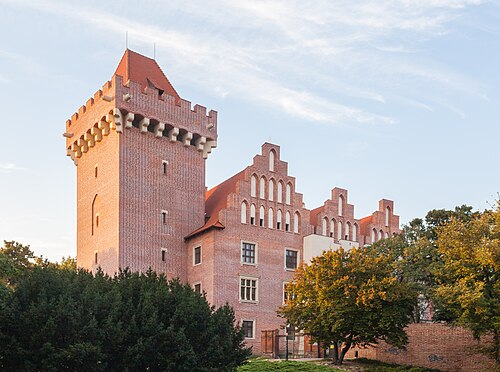
- Royal Castle, Poznań1 km · Poland
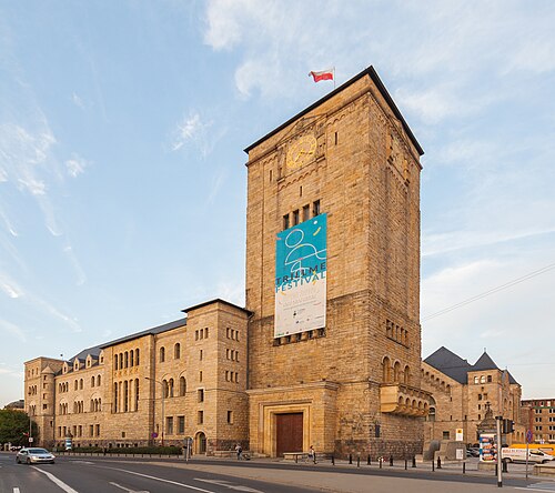
- Imperial Castle in Poznań2 km · Poland
- Palace in Konarzewo18 km · Poland
More castles in Poland
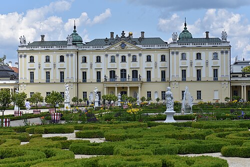
- Branicki PalacePoland · 18th century
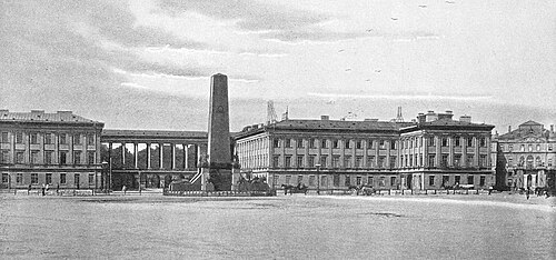
- Saxon PalacePoland · 17th century
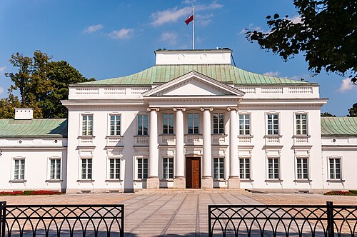
- BelwederPoland · 17th century
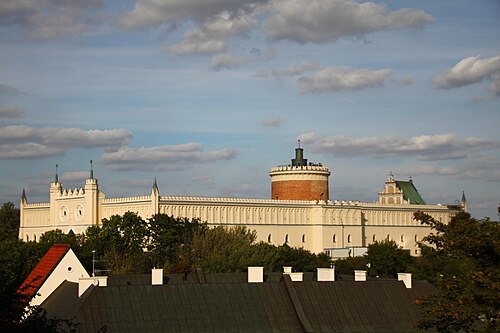
- Lublin CastlePoland · 12th century