 Slovakia · 13th century
Pustý hrad (Sklené Teplice) ranks #8,833 of 9,040 worldwide in the atlas's castle fame ranking, and #126 of the 135 mapped in Slovakia. Founded c. 1300, it is older than 60% of the atlas's dated landmarks, one of 1091 atlas entries founded in the 13th century. 11 more atlas landmarks stand within 25 km. The nearest day-trip guide is Banská Bystrica, 31 km away. See how Slovakia compares in the castle statistics.
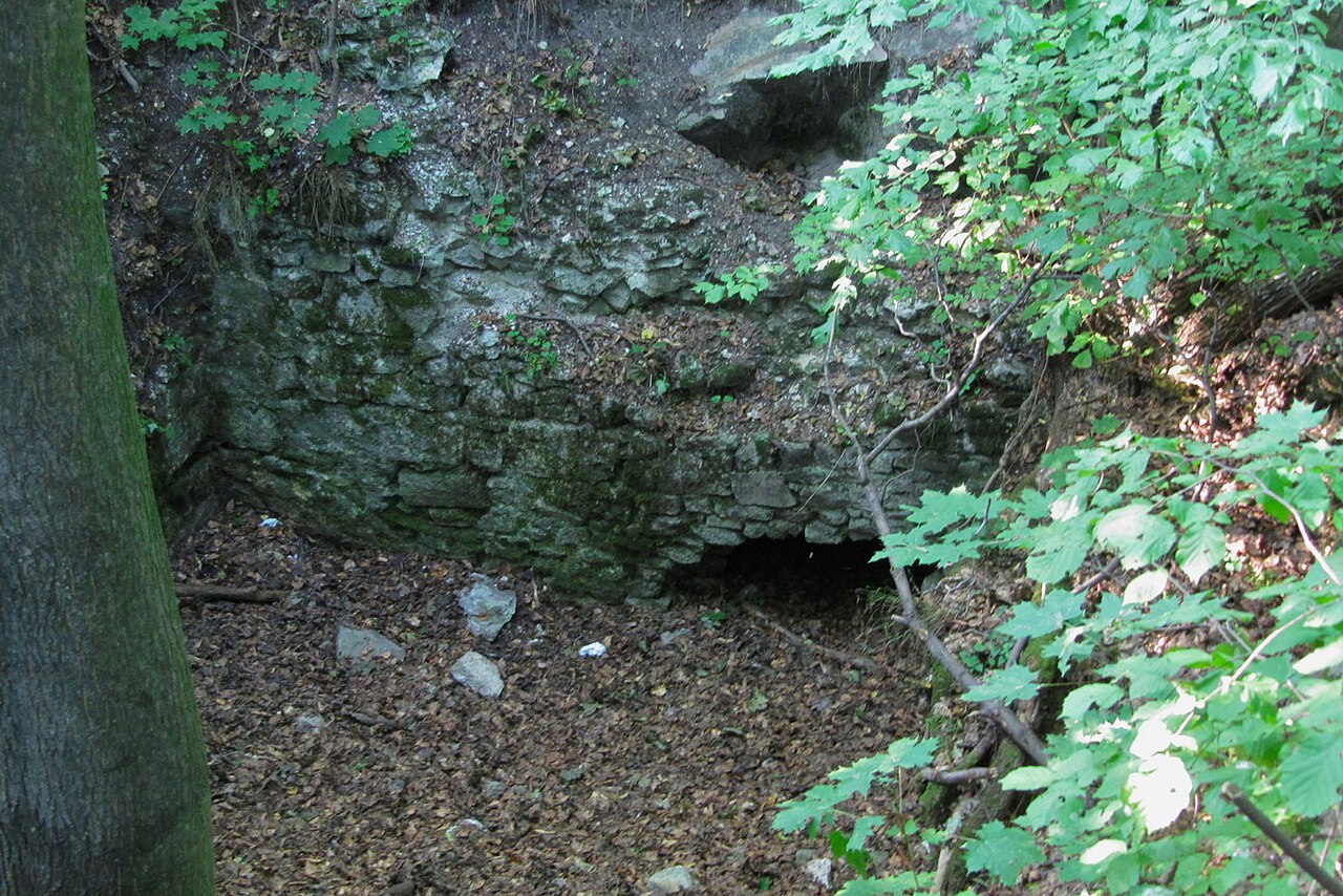
Pustý hrad (also Teplica, Sklené Teplice castle or Červený hrad) is a castle ruin situated west above the village of Sklené Teplice in the district of Žiar nad Hronom. It stands on a steep hill at an altitude of 629 metres. The exact date of the castle's founding is not known. According to the archaeological research carried out, its founding is assumed to have taken place in the second half of the 13th century. In 1456 it was seized by the troops of Jan Jiskra of Brandýs. In the fighting with the Polish king Casimir IV it was damaged in 1471 and subsequently restored in 1489. The castle's demise is estimated to have occurred in the course of the 17th century. Building material from the crumbling ruins of the castle was used in 1807–1810 for the construction of the church in Sklené Teplice.
Machine-translated from “Pustý hrad (Sklené Teplice)” on the Czech Wikipedia, CC BY-SA 4.0.
View on the interactive castle map →