 India · 13th century
Raichur Fort ranks #5,552 of 9,040 worldwide in the atlas's castle fame ranking, and #183 of the 223 mapped in India. Founded 1294, it is older than 63% of the atlas's dated landmarks, one of 1091 atlas entries founded in the 13th century. See how India compares in the castle statistics.
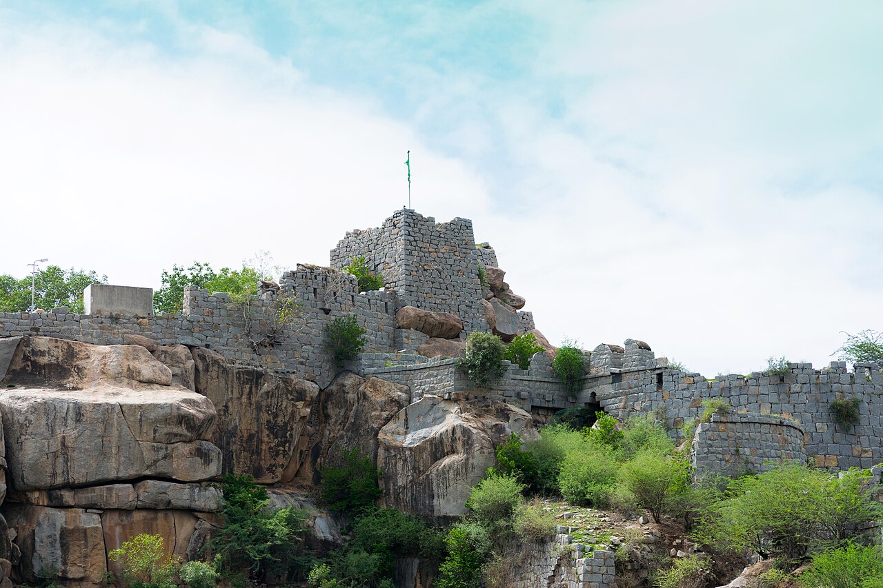
Raichur Fort is a fortress located on a hilltop in the heart of the Raichur in North Karnataka.
The Raichur region (Raichur Doab) has been ruled by several families; the Kakatiya dynasty, Rashtrakutas, Vijayanagar Empire, Bahmanis and Nizams.
Fortifications have existed since the time of the Chalukyas of Badami ; during the rule of Chalukyas of Kalyani the fort was renovated. The present fort was constructed in 1294 CE during Kakatiya rule. An inscription records that it was built by Raja Vithala on the order of Raja Gona Gannaya Reddivaru, minister of Queen Rudramma Devi.
The fort was of strategic importance to the Bahmani Sultanate, who significantly expanded the structure.
During the rule of Vijayanagara Empire, Krishnadevaraya built the north entrance in celebration of one of his conquests.
Later it was also used by Gadwal Samasthanam, they ruled most of the modern-day Raichur at their peak.
The fort is known for its many inscriptions, in several languages.
In March 2011, 95 red granite balls and a cannon dated to the 13th Century were discovered by engineers cleaning the north west wall of the fort.
Text adapted from “Raichur Fort” on Wikipedia, CC BY-SA 4.0.
View on the interactive castle map →