Fortress
Attur Fort
 India · 17th century
- Founded
- c. 1650
- Heritage status
- Monument of National Importance
- Location
- Salem district
- Coordinates
- 11.60353°, 78.60087°
- Open data
- Wikidata Q15193894
Description
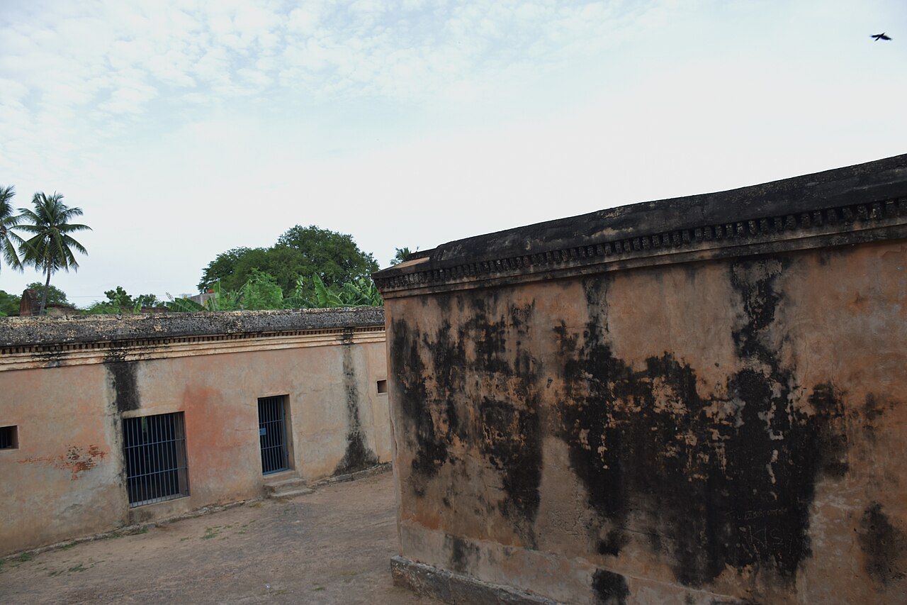
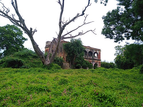
Attur Fort is a historic fort present in Attur in Salem district in the South Indian state of Tamil Nadu. The fort is located on the banks of river Vashista, 56 km (35 mi) away from Salem.The fort was built by a Palaiyakkarar chieftain Gatti Mudaliar dynasty under Madurai Nayaks, called Lakshmana Nayakan during the 17th century.
It was also occupied by Hyder Ali, Tipu Sultan and British during various times. While it was Tipu Sultan, it switched hands to the British East India Company who got five forts including this one as a part of the Treaty of Srirangapatnam. The fort was used by the British as a garrison till 1854, after which the fort was not operational. In modern times, the fort is under the control of the Archaeological Department of the Government of Tamil Nadu. The fort houses two magazine points, two palaces, a court, three treasuries and three temples. Some portions of the fort are dilapidated, while most other portions are encroached on by slum dwellers.
Text adapted from “Attur Fort” on Wikipedia, CC BY-SA 4.0.
In the rankings
Attur Fort ranks #6,015 of 9,040 worldwide in the atlas's castle fame ranking, and #192 of the 223 mapped in India. Founded c. 1650, it is older than 25% of the atlas's dated landmarks, one of 710 atlas entries founded in the 17th century. See how India compares in the castle statistics.
Castles nearby
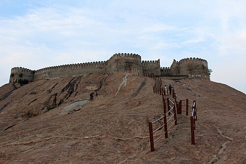
- Namakkal Fort64 km · India
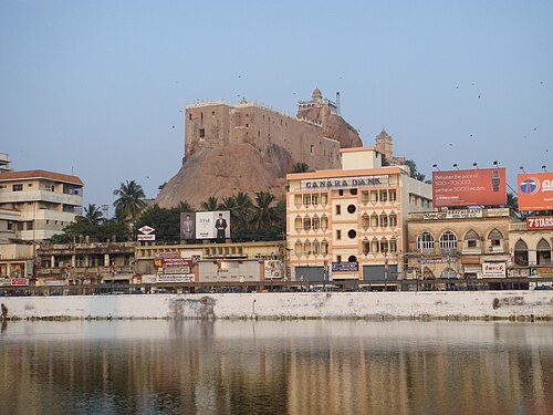
- Tiruchirappalli Rock Fort87 km · India
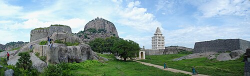
- Gingee Fort113 km · India
- Fort St. David129 km · India
More castles in India
- Bhatner FortIndia · 3rd century
- Chanderi FortIndia
- Chandragiri Fort (Andhra Pradesh)India · 10th century
- Jaigad FortIndia