Fortress
Chanderi Fort
 India
- Heritage status
- Monument of National Importance
- Location
- Chanderi
- Coordinates
- 24.72°, 78.13°
- Open data
- Wikidata Q2721669
Description
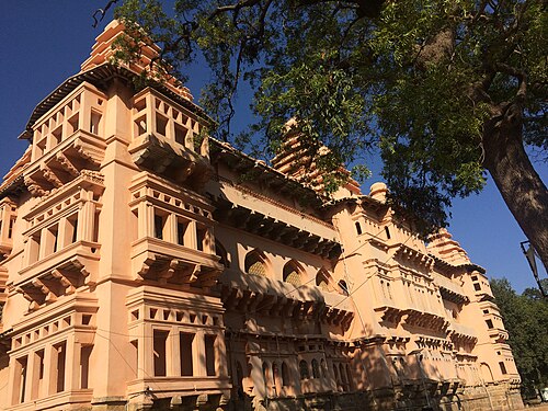
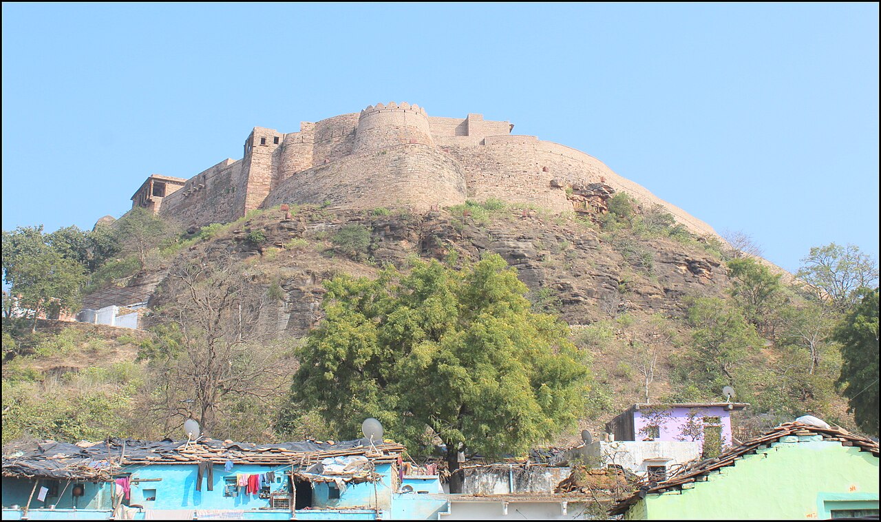
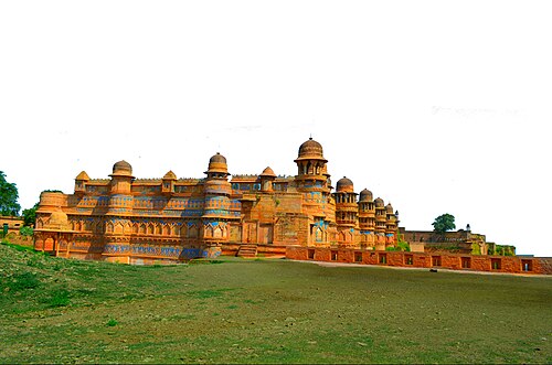
Chanderi Fort located at Chanderi in Ashoknagar District of Madhya Pradesh state in India is situated at a distance of 127 km from Shivpuri and 37 km from Lalitpur and about 45 km from Esagarh and 38 km from Mungoali It is located on a hill southwest of the Betwa River. Chanderi is surrounded by hills, lakes and forests and there are several monuments. Chanderi finds mention in Mahabharata. Shishupal was the king of Mahabharata period.
Chanderi is located strategically on the borders of Malwa and Bundelkhand. History of Chanderi goes back to the 11th century, when it was dominated by the trade routes of Central India and was proximate to the arterial route to the ancient ports of Gujarat as well as to Malwa, Mewar, Central India and the Deccan. Consequently, Chanderi became an important military outpost.
Chanderi Fort, a vast Rajput fort, dominates the skyline of the lovely old town of Chanderi. The main gate of the fort is known as the "Khooni Darwaza". Chanderi fort is situated on a hill 71 meter above the town. The fortification walls were constructed mainly by the Hindu rulers of Chanderi. To the southwest of the fort there is a curious gateway called katti-ghatti made through a hill side.
Text adapted from “Chanderi fort” on Wikipedia, CC BY-SA 4.0.
In the rankings
Chanderi Fort ranks #4,509 of 9,040 worldwide in the atlas's castle fame ranking, and #164 of the 223 mapped in India. Its Wikipedia articles were opened 1,190 times in the last 60 days, more than 55% of the atlas. See how India compares in the castle statistics.
Castles nearby
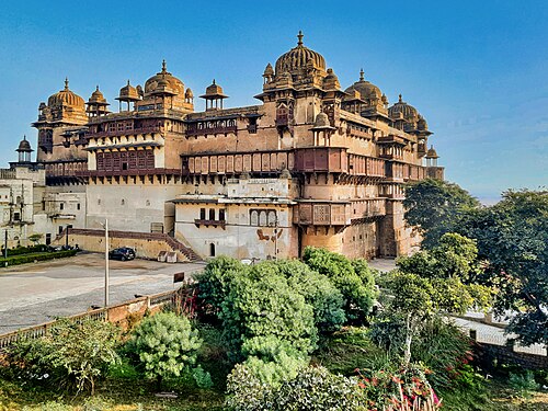
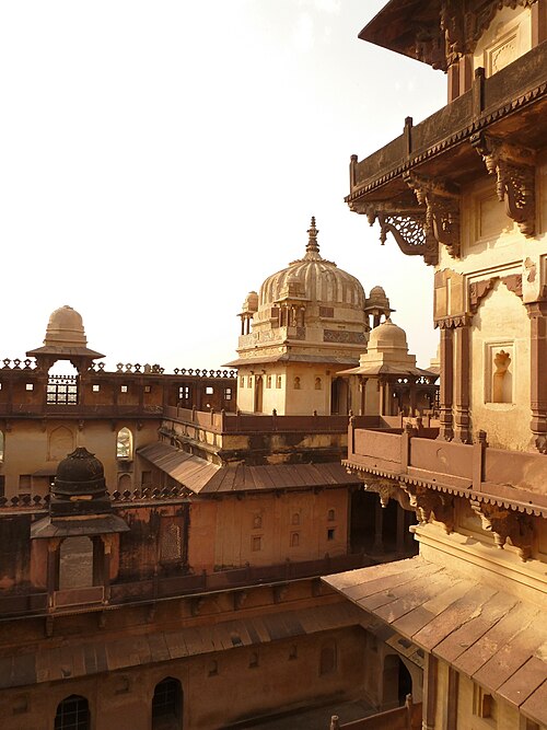
- Jahangir Mahal, Orchha87 km · India
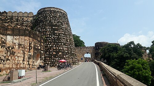
- Jhansi Fort94 km · India
- Datia Palace111 km · India
- Gwalior Fort168 km · India
More castles in India
- Chandragiri Fort (Andhra Pradesh)India · 10th century
- Jaigad FortIndia
- Jal Mahal (Narnaul)India · 16th century
- Kavaledurga FortIndia · 9th century