Castle
Rock of Dunamase
🇮🇪 Ireland
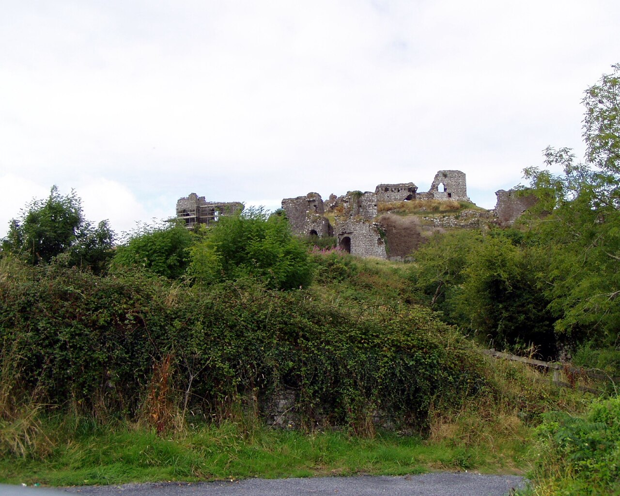
Dunamase or the Rock of Dunamase (Irish: Dún Másc "fort of Másc") is a rocky outcrop in County Laois, Ireland. Rising 46 metres (151 ft) above a plain, it has the ruins of Dunamase Castle, a defensive stronghold dating from the early Hiberno-Norman period with a view across to the Slieve Bloom Mountains. It is near the N80 road between the towns of Portlaoise and Stradbally.
Dunamase was one of the landmarks shown on Ptolemy's map in the year 140. Excavations in the 1990s demonstrated that the Rock was first settled in the 9th century when a hill fort or dún was constructed on the site. In 845 the Vikings of Dublin attacked the site and the abbot of Terryglass, Aed son of Dub dá Chrích, was killed there. There is no clear evidence of 10th–11th century occupation.
The castle was built in the second half of the 12th century.
When the Normans arrived in Ireland in the late 12th century, Dunamase became the most important Hiberno-Norman fortification in Laois. It was Dunamase where Dermot Mac Morrough, King of Leinster, brought the wife of O'Rourke, the King of Breifne, after kidnapping her. Enlisting the help of the O'Connor clan, the O'Rourkes and O'Connors drove MacMurrough from Dunamase and he fled Ireland. MacMurrough gave Dunamase and his daughter Aoife in marriage to the Norman conqueror Strongbow in 1170 as part of a deal to enlist his help to regain his lands. The Norman invasion of Ireland then followed when Strongbow accompanied MacMurrough, along with many men, to attack and regain MacMurrogh's lands.
Later, with the marriage of Strongbow and Aoife's daughter and heir, Isabel, the castle passed into the hands of the Marshal family. William Marshal, who later became Regent of England in the minority of Henry III, had five sons, all of whom succeeded him in turn and died without issue. So in 1247 the Marshal lands were divided among William's five daughters. Dunamase fell to Eva Marshal and then to her daughter, Maud, who was married to Roger Mortimer. The castle remained in Mortimer hands until 1330 when another Roger Mortimer was executed for treason. By the time the Mortimer family was rehabilitated the castle seems to have passed out of the area under Norman control. It seems to have become a ruinous shell by 1350.
Text adapted from “Dunamase” on Wikipedia, CC BY-SA 4.0.
Rock of Dunamase ranks #3,381 of 8,134 worldwide in the atlas's castle fame ranking, and #46 of the 173 mapped in Ireland. Its Wikipedia articles were opened 1,980 times in the last 60 days, more than 67% of the atlas. 1 more atlas landmarks stand within 25 km. The nearest day-trip guide is Dublin, 73 km away. See how Ireland compares in the castle statistics.
View on the interactive castle map →Frequently asked questions
Where is Rock of Dunamase?
Rock of Dunamase stands in Ireland, at 53.03167°, -7.21028°.
How famous is Rock of Dunamase?
In this atlas's fame ranking: #3,381 of 8,134 worldwide, and #46 in Ireland. Fame here combines how many Wikipedia language editions cover a landmark with how many people read them.
What is the nearest castle to Rock of Dunamase?
Kilkea Castle, about 24 km away.
More castles in Ireland
- Cloughoughter Castle Ireland · 13th century
- Ardgillan Castle Ireland · 18th century
- Fiddaun Castle Ireland · 16th century
- Thoor Ballylee Ireland · 15th century
More castles
- Gross Wohnsdorf Castle Russia · 14th century
- Schwerinsburg Namibia · 19th century
- Barberstown Castle Ireland · 13th century
- Burnchurch Castle Ireland · 15th century