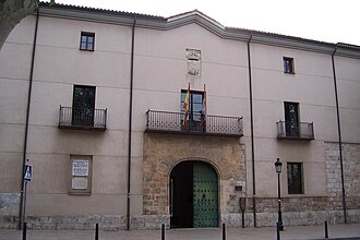
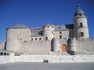
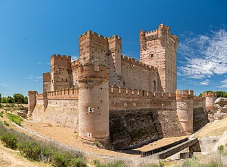
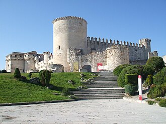
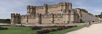
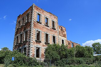
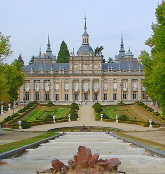
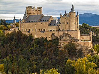
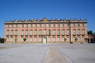
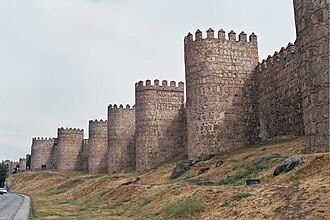
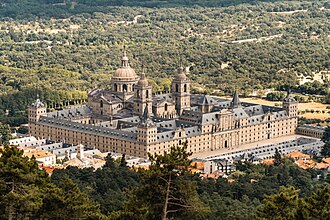
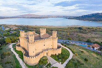
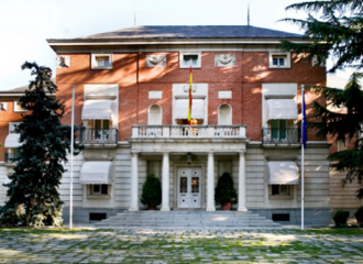
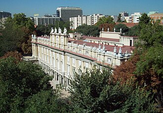
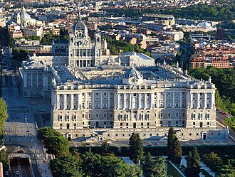
Castile is named after its castles: the county on the frontier with al-Andalus that took its name from the line of forts holding it. What survives on the meseta is the later, grander version: Coca and Medina del Campo in Mudéjar brick, Segovia’s Alcázar on its rock, and the complete circuit of walls around Ávila, 2.5 kilometres of them with 88 towers, begun in 1090. The road ends in Madrid, which is Castile too, and where the crown finally settled: the Royal Palace, the Escorial and the Alcázar that burned under it.
What this atlas maps on the Castile castle route
They are the 28 best known of the 40 landmarks this atlas maps within 30 km of the line, spanning 9th century to 20th century.
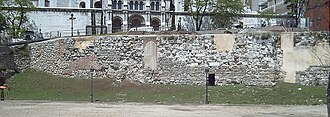
The best known is Royal Monastery of San Lorenzo de El Escorial, ranked 20 of the 9,035 landmarks in the atlas by Wikipedia presence and real readership. The oldest is Muslim Walls of Madrid, founded 855.
The route runs through Spain.
Travelling it
An hour or two of fast road each between Valladolid, Coca, Segovia, Ávila and Madrid, and the AVE reaches Segovia from Madrid in half an hour and Valladolid in under one.
Day-trip guides for the towns and cities along it: Madrid · Guadalajara · Ávila · Segovia.
See the route on the map →