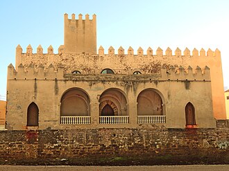
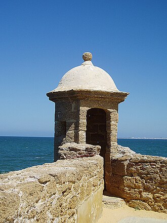
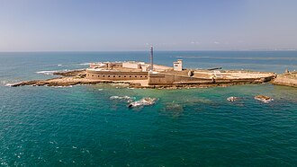
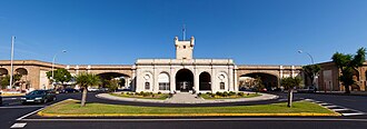
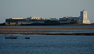
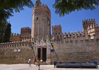
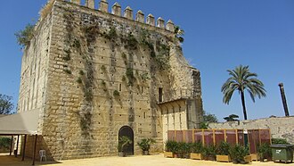
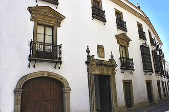
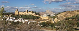
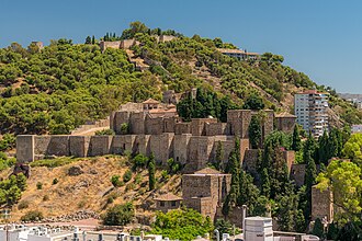
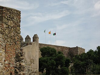
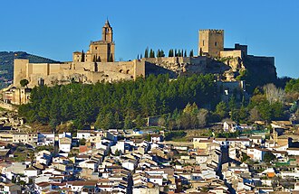
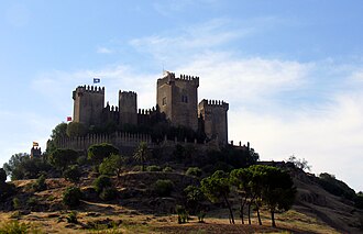
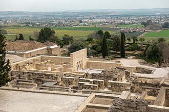
For two and a half centuries after the fall of Córdoba in 1236 the line between Castile and the emirate of Granada barely moved, and both sides fortified it: watchtowers within sight of one another, walled hill towns, and castles at every pass. The villages that grew up under them are the pueblos blancos, and a dozen of them still carry “de la Frontera” in their names: the border they were named for.
What this atlas maps on the Andalusian frontier castles
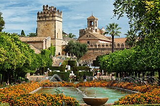
They are the 30 best known of the 67 landmarks this atlas maps within 30 km of the line, spanning 3rd century BC to 18th century.
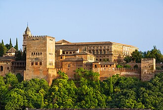
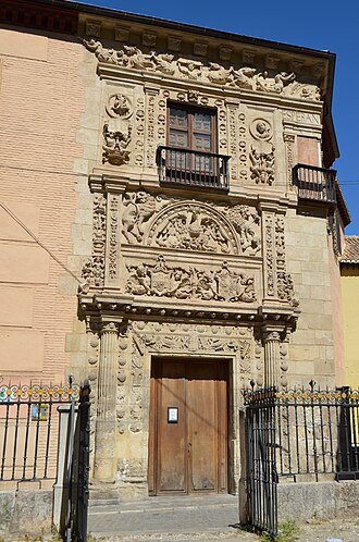
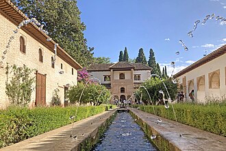
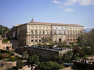
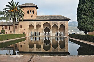
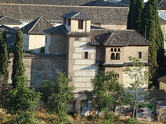
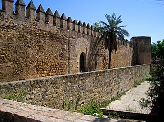
The best known is Alhambra, ranked 7 of the 9,035 landmarks in the atlas by Wikipedia presence and real readership. The oldest is City walls of Córdoba, founded 206 BC.
The route runs through Spain. The same ground, without the itinerary: Castles in Andalusia.
Travelling it
The classic drive is the pueblos blancos road between Arcos and Ronda; east of that the A-92 runs along the old frontier to Granada.
Day-trip guides for the towns and cities along it: Málaga · Granada · Jerez de la Frontera · Jaén · Cádiz.
See the route on the map →