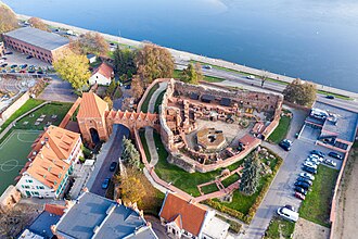
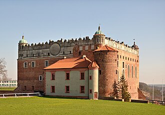
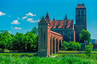
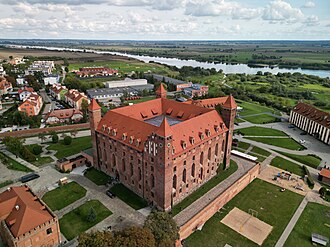
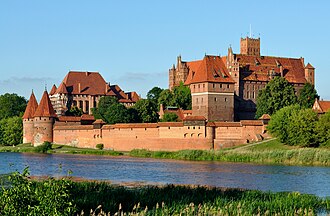
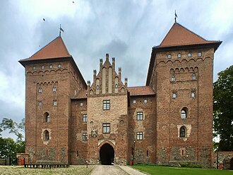
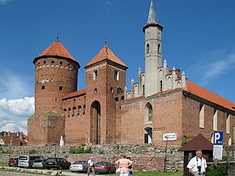
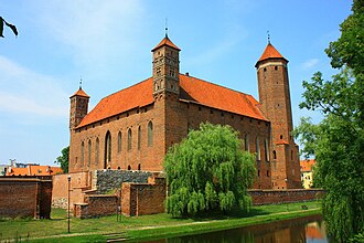
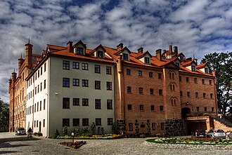
The Teutonic Knights ruled Prussia from a network of brick castles built to one plan: a square convent block round a courtyard, with a chapel, a chapter house and a refectory, and an outer bailey for the horses and the grain. Malbork was the Grand Master’s seat from 1309 and is the largest castle in the world by land area; it is a UNESCO World Heritage Site, as is the town of Toruń at the other end of the road.
What this atlas maps on the Teutonic castle road
Every stop is named in the route itself rather than chosen by a radius, spanning 13th century to 14th century.
The best known is Malbork Castle, ranked 28 of the 9,035 landmarks in the atlas by Wikipedia presence and real readership. The oldest is Toruń Castle, founded c. 1236.
The route runs through Poland.
Travelling it
The road runs down the Vistula from Toruń to Malbork and then east into Warmia and Masuria. Several of the castles are hotels now, Ryn among them.
Day-trip guides for the towns and cities along it: Gdańsk · Bydgoszcz · Toruń.
See the route on the map →