Fortress
Salher
🇮🇳 India
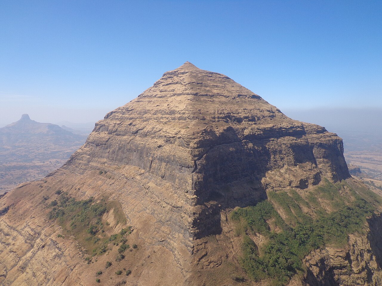
Salher is a place located near Salher Village in Satana tehsil in Nashik district of Maharashtra, India. The old name of Salher was Gavalgarh. It is the site of the highest fort in the Sahyadri mountains and the second highest peak at 1,567 metres (5,141 ft) after Kalsubai in Maharashtra and 32nd highest peak in Western Ghats. This was a fort of the Maratha Empire. The money acquired after raiding Surat was brought to this fort first on its way to the Maratha capital forts.
Text adapted from “Salher” on Wikipedia, CC BY-SA 4.0.
Salher ranks #2,444 of 8,134 worldwide in the atlas's castle fame ranking, and #92 of the 179 mapped in India. Its Wikipedia articles were opened 3,783 times in the last 60 days, more than 80% of the atlas. See how India compares in the castle statistics.
View on the interactive castle map →Frequently asked questions
Where is Salher?
Salher stands in India, at 20.72472°, 73.94278°.
Is Salher a UNESCO World Heritage Site?
Yes — it is part of a UNESCO World Heritage Site, per its Wikidata entry.
How famous is Salher?
In this atlas's fame ranking: #2,444 of 8,134 worldwide, and #92 in India. Fame here combines how many Wikipedia language editions cover a landmark with how many people read them.
What is the nearest castle to Salher?
Laling Fort, about 58 km away.
More castles in India
- Udgir Fort India
- Uparkot Fort India
- Bombay Castle India
- Riwa Fort India
More fortresses
- Fort Zachary Taylor Historic State Park United States · 19th century
- Fort Morgan United States · 19th century
- Dunbeg Fort Ireland
- Fort Pitt United States · 18th century