 Switzerland · 13th century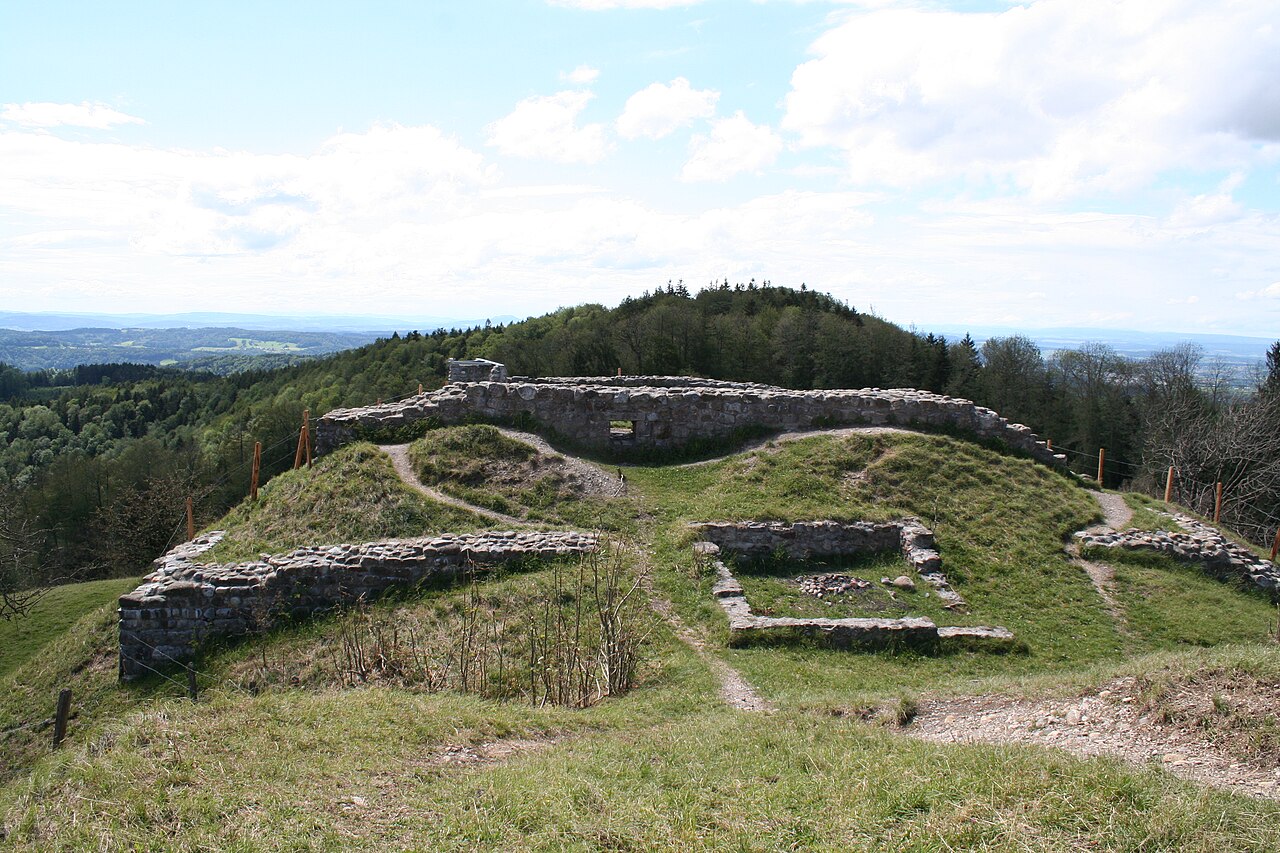
Schauenberg is a hill and ruined castle near Turbenthal, canton of Zurich, at 892 m (2,927 ft) elevation. There were fortifications since the Iron Age, and since the early 13th century, there was a wooden structure, in the 1250s extended to a massive keep. The fortress was destroyed in 1344. From 1622, Zurich maintained a system of beacons as a warning system, and signals from Schauenberg could be seen at Schnabel (Albis), Pfannenstiel, Tämbrig (above Hermatswil), Uetliberg, Lägern, Zürichberg, Mörsburg, Kyburg, Stammheimerberg and even Hohenklingen.
The cantonal archeology department conducted excavations at the site between 1976 and 1979.
Text adapted from “Schauenberg” on Wikipedia, CC BY-SA 4.0.
Schauenberg Castle ranks #6,771 of 9,035 worldwide in the atlas's castle fame ranking, and #109 of the 213 mapped in Switzerland. Founded c. 1225, it is older than 73% of the atlas's dated landmarks, one of 1090 atlas entries founded in the 13th century. 9 more atlas landmarks stand within 25 km. The nearest day-trip guide is Winterthur, 11 km away. See how Switzerland compares in the castle statistics.
View on the interactive castle map →