Fortress
Sohar Fort
 Oman
- Heritage status
- Heritage of Portuguese Influence
- Location
- Sohar
- Coordinates
- 24.36203°, 56.74929°
- Open data
- Wikidata Q10283951
- Links
- Wikimedia Commons
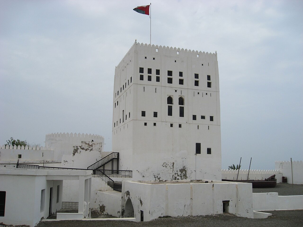
Description
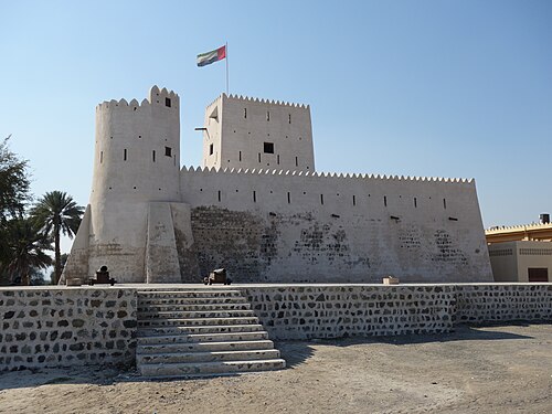
Sohar Fort is an Omani fortification in the vicinity of the town of Sohar, which lies in the north of the country in the governorate of North Al Batinah. For a time the fort was controlled by the Portuguese, who were however expelled during the rule of Imam Nasir ibn Murshid al-Ya'rubi (1624–49). The fort became the administrative centre of the ruling al-Busaid dynasty. In 1985 the fort was restored by the ministry and in 1993 it was converted into a museum.
Machine-translated from “Pevnost Suhár” on the Czech Wikipedia, CC BY-SA 4.0.
In the rankings
Sohar Fort ranks #9,736 of 9,902 worldwide in the atlas's castle fame ranking, and #11 of the 13 mapped in Oman. See how Oman compares in the castle statistics.
Castles nearby
- Awhala Fort
 76 km · United Arab Emirates
- Hatta Fort80 km · United Arab Emirates
- Ghayl Fort82 km · United Arab Emirates
- Kalba Fort95 km · United Arab Emirates
More castles in Oman
- Khasab FortOman
- Quriyat FortOman
- Bahla FortOman · 12th century
- Al Alam PalaceOman · 20th century