 England · 16th century
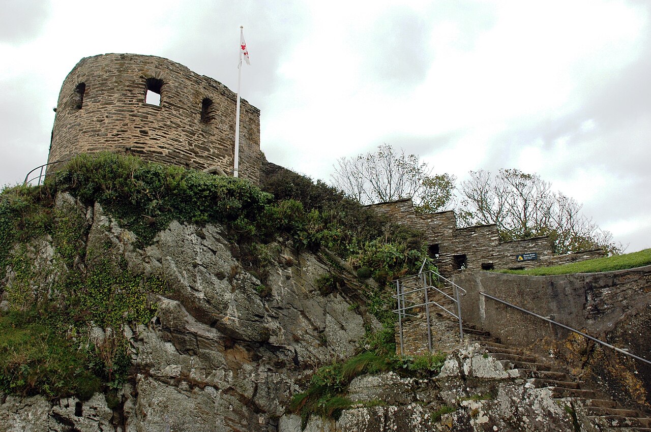
St Catherine's Castle ranks #5,177 of 9,040 worldwide in the atlas's castle fame ranking, and #320 of the 360 mapped in England. Founded 1538, it is older than 40% of the atlas's dated landmarks, one of 887 atlas entries founded in the 16th century. 2 more atlas landmarks stand within 25 km. See how England compares in the castle statistics.
St Catherine's Castle (Cornish: Kastel S. Kattryn) is a Henrician castle in Cornwall, England, built by Thomas Treffry between approximately 1538 and 1540, in response to fears of an invasion of England by France and the Holy Roman Empire. The D-shaped, stone fortification, equipped with five gun-ports for cannon, overlooked the mouth of the River Fowey in Cornwall. It was protected by a curtain wall and the surrounding cliffs. The castle remained in use for many years until it was closed at the end of the Napoleonic Wars in 1815. Brought back into service in 1855 during the Crimean War, it was fitted with two new artillery positions, but it soon became obsolete and was abandoned.
During the Second World War the castle was refortified and used to house a battery of naval guns, protecting the coast against the threat of German attack. At the end of the conflict the castle was restored to its previous condition and is now managed by English Heritage as a tourist attraction.
Text adapted from “St Catherine's Castle” on Wikipedia, CC BY-SA 4.0.
View on the interactive castle map →