 Sweden · 14th century
Styresholm ranks #7,065 of 9,040 worldwide in the atlas's castle fame ranking, and #194 of the 209 mapped in Sweden. Founded c. 1375, it is older than 53% of the atlas's dated landmarks, one of 758 atlas entries founded in the 14th century. See how Sweden compares in the castle statistics.
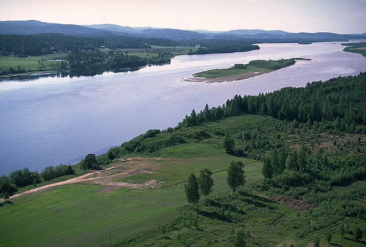
Styresholm was a medieval fortress in present-day Kramfors Municipality. Today it is on the banks of the Ångermanälven, although in the 14th century it was on an island in the river, as the water level was several metres higher than today.
The fortress was built by the pirate group Victual Brothers in the late 14th century as one of a series of fortresses in the Gulf of Bothnia. The name is first recorded in 1398 when its ownership was transferred to Queen Margaret I; a Danish governor was appointed in 1400.
Text adapted from “Styresholm” on Wikipedia, CC BY-SA 4.0.
View on the interactive castle map →