 Czech Republic · 18th century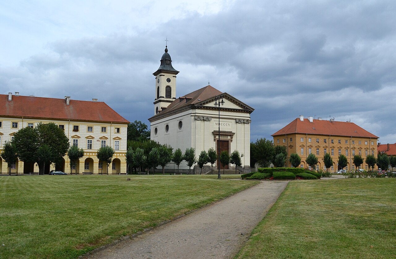
Terezín (Czech pronunciation: [ˈtɛrɛziːn] ; German: Theresienstadt) is a town in Litoměřice District in the Ústí nad Labem Region of the Czech Republic. It has about 2,900 inhabitants. The town is located on the Ohře River, in the Lower Ohře Table.
Founded in 1780, Terezín is a former military fortress composed of the citadel and adjacent walled garrison town. The town centre is well preserved and is protected as an urban monument reservation. Terezín is infamously known as the location of the Nazis' Theresienstadt Ghetto.
Text adapted from “Terezín” on Wikipedia, CC BY-SA 4.0.
Terezín ranks #100 of 9,079 worldwide in the atlas's castle fame ranking, and #2 of the 243 mapped in Czech Republic. Founded 1780, it is older than 13% of the atlas's dated landmarks — one of 696 atlas entries founded in the 18th century. Its Wikipedia articles were opened 25,737 times in the last 60 days, more than 98% of the atlas. 12 more atlas landmarks stand within 25 km. The nearest day-trip guide is Ústí nad Labem, 18 km away. It is one of the 189 landmarks on the atlas's regional map of Bohemia. See how Czech Republic compares in the castle statistics.
View on the interactive castle map →