 Wales · 1st century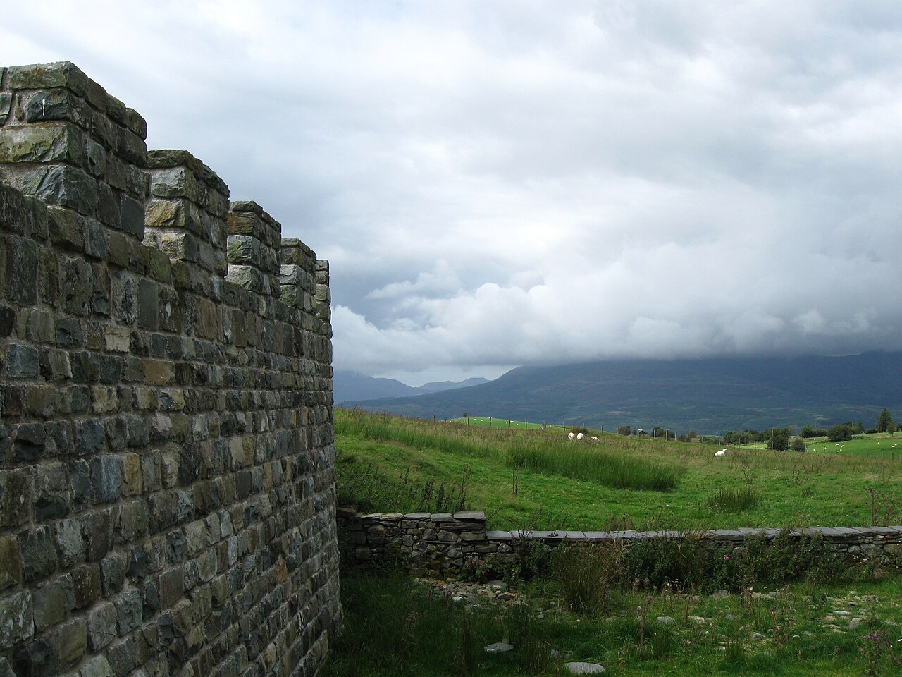
Tomen y Mur is a Roman fort in Snowdonia, Gwynedd, Wales, dating to the first century AD. The fortification, which lies on the slope of an isolated spur northeast of Llyn Trawsfynydd, was constructed during the North Wales campaigns of governor Gnaeus Julius Agricola in AD 78. The fort stood adjacent to the Roman road known as Sarn Helen. It was occupied until it was abandoned around AD 140. In the 11th century, the Normans reused part of the site for a motte.
Tomen y Mur, which is managed by Snowdonia National Park Authority, is a scheduled monument.
Text adapted from “Tomen y Mur” on Wikipedia, CC BY-SA 4.0.
Tomen y Mur ranks #4,763 of 9,079 worldwide in the atlas's castle fame ranking, and #84 of the 107 mapped in Wales. Founded 78, it is older than 98% of the atlas's dated landmarks — one of 33 atlas entries founded in the 1st century. 6 more atlas landmarks stand within 25 km. The nearest day-trip guide is Wrexham, 64 km away. It is one of the 27 landmarks on the atlas's regional map of North Wales. See how Wales compares in the castle statistics.
View on the interactive castle map →