 Wales
Wales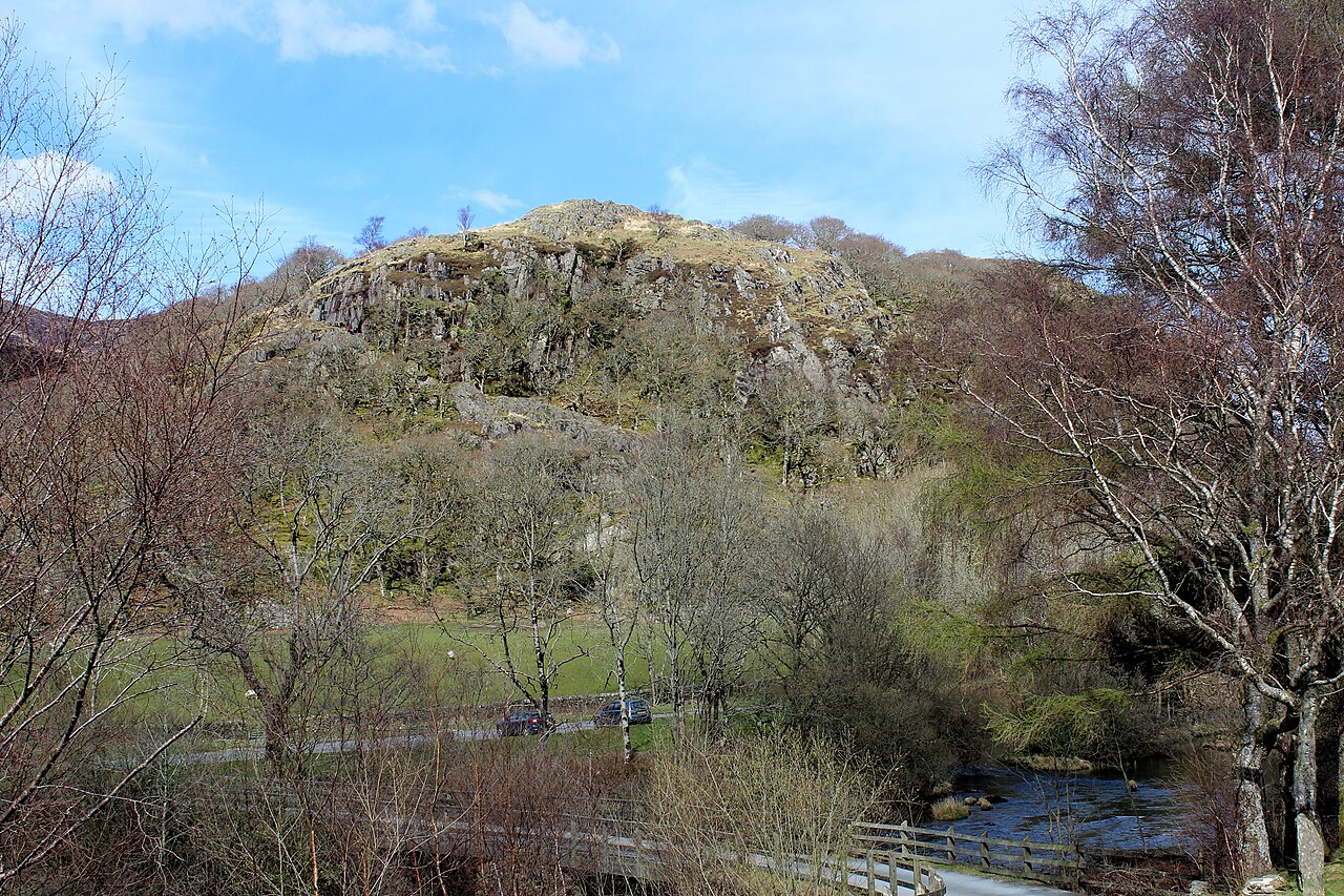
Dinas Emrys (Welsh for 'Emrys's city') is a rocky and wooded hillock near Beddgelert in Gwynedd, north-west Wales. Rising some 76 m (250 ft) above the floor of the Glaslyn river valley, it overlooks the southern end of Llyn Dinas in Snowdonia.
Little remains of the Iron Age hillfort or castle structures that once stood here, save its stone ramparts and the base of a keep [Grid reference SH 60669 49228]. Some believe the castle was erected by Llewelyn the Last to guard the road to the mountain pass of Snowdon.
Text adapted from “Dinas Emrys” on Wikipedia, CC BY-SA 4.0.
Dinas Emrys ranks #2,059 of 9,079 worldwide in the atlas's castle fame ranking, and #31 of the 107 mapped in Wales. Its Wikipedia articles were opened 2,879 times in the last 60 days, more than 77% of the atlas. 9 more atlas landmarks stand within 25 km. The nearest day-trip guide is Wrexham, 73 km away. It is one of the 27 landmarks on the atlas's regional map of North Wales. See how Wales compares in the castle statistics.
View on the interactive castle map →