 Estonia · 15th century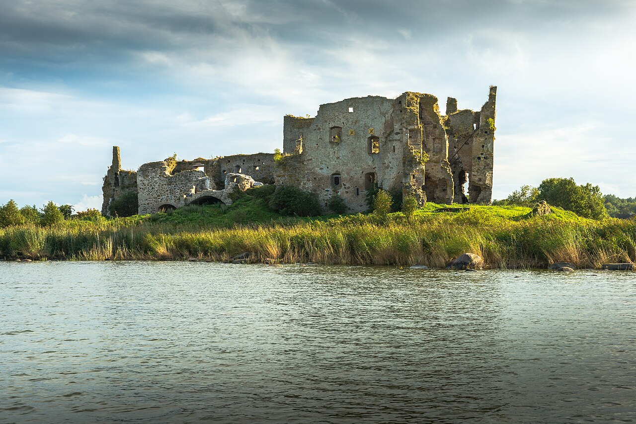
Toolse Castle (in German: Tolsburg; in Estonian: Toolse ordulinnus) is the northernmost and most recent of the Livonian castles of present-day Estonia. It lies near the town of Kunda in western Viru (the former western Wierland). It was originally called the castle of Vredeborch.
Machine-translated from “Château de Tolsburg” on the French Wikipedia, CC BY-SA 4.0.
Toolse Castle ranks #3,116 of 9,035 worldwide in the atlas's castle fame ranking, and #21 of the 36 mapped in Estonia. Founded 1471, it is older than 45% of the atlas's dated landmarks, one of 556 atlas entries founded in the 15th century. Its Wikipedia articles were opened 1,027 times in the last 60 days, more than 51% of the atlas. 1 more atlas landmarks stand within 25 km. The nearest day-trip guide is Tallinn, 98 km away. See how Estonia compares in the castle statistics.
View on the interactive castle map →