 Spain
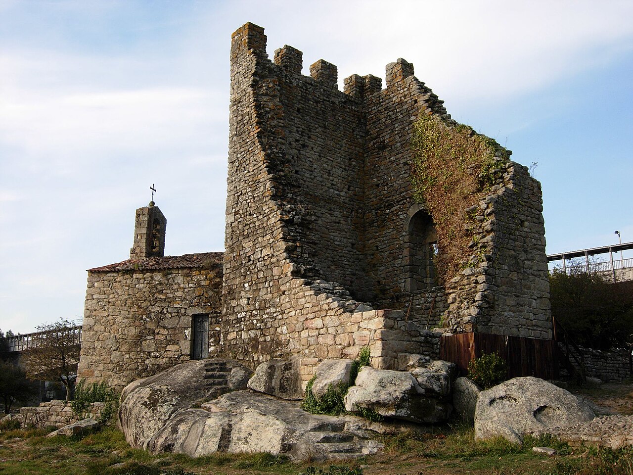
The Oeste Towers (Galician and Spanish: Torres de Oeste) are the ruins of a medieval castle in Catoira, Galicia, Spain, located at the head of the Ría de Arousa, in the river Ulla estuary. The towers remaining today are the ruins of Castellum Honesti, and played an important role in the defense of Santiago de Compostela from Viking attacks. In 1931 they were declared a national monument.
Each summer, the first Sunday of August, a celebration recalls the repulse of a Viking invasion.
Text adapted from “Torres de Oeste” on Wikipedia, CC BY-SA 4.0.
Torres de Oeste ranks #4,108 of 9,035 worldwide in the atlas's castle fame ranking, and #166 of the 606 mapped in Spain. Its Wikipedia articles were opened 1,078 times in the last 60 days, more than 52% of the atlas. 4 more atlas landmarks stand within 25 km. See how Spain compares in the castle statistics.
View on the interactive castle map →