Ruin
Castro de Achadizo
🇪🇸 Spain
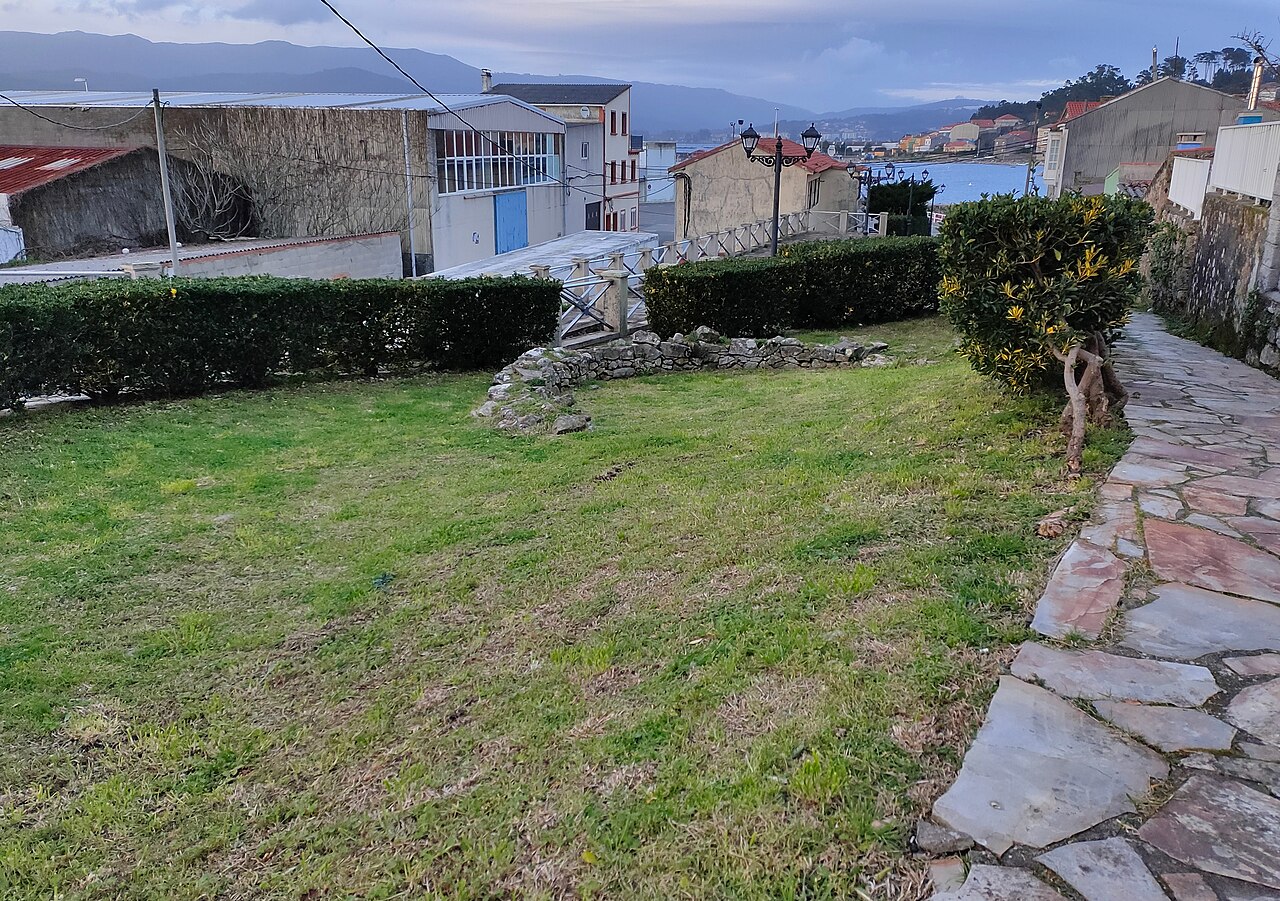
Castro de Achadizo is an Iron Age fort hill (castro) located in Province of A Coruña, Galicia, Spain. It was inhabited mainly between the 6th and 2nd centuries BC.
Its morphology is typical of the so-called coastal castros. Its appearance is greatly disfigured by the neighborhood built on a large part of the archaeological area. The excavations carried out in it unearthed several residential structures and remains of the stone wall, as well as several landfills. These remains were consolidated, signposted and integrated into a public recreation area.
Text adapted from “Castro de Achadizo” on Wikipedia, CC BY-SA 4.0.
Castro de Achadizo ranks #7,301 of 8,134 worldwide in the atlas's castle fame ranking, and #467 of the 602 mapped in Spain. 4 more atlas landmarks stand within 25 km. See how Spain compares in the castle statistics.
View on the interactive castle map →Frequently asked questions
Where is Castro de Achadizo?
Castro de Achadizo stands in Spain, at 42.61639°, -8.88444°.
How famous is Castro de Achadizo?
In this atlas's fame ranking: #7,301 of 8,134 worldwide, and #467 in Spain. Fame here combines how many Wikipedia language editions cover a landmark with how many people read them.
What is the nearest castle to Castro de Achadizo?
Castro of A Cidá, about 12 km away.
More castles in Spain
- Muralla de Santiago de Compostela Spain · 11th century
- Marbella city walls Spain · 10th century
- Torre de Fornells Spain · 19th century
- Torre de Paraires Spain · 13th century
More ruins
- Ancient Roman wall of Zaragoza Spain
- Puerta de Toledo Spain
- Castle Lupario Spain · 17th century
- Castro de Ulaca Spain