 Estonia · 10th century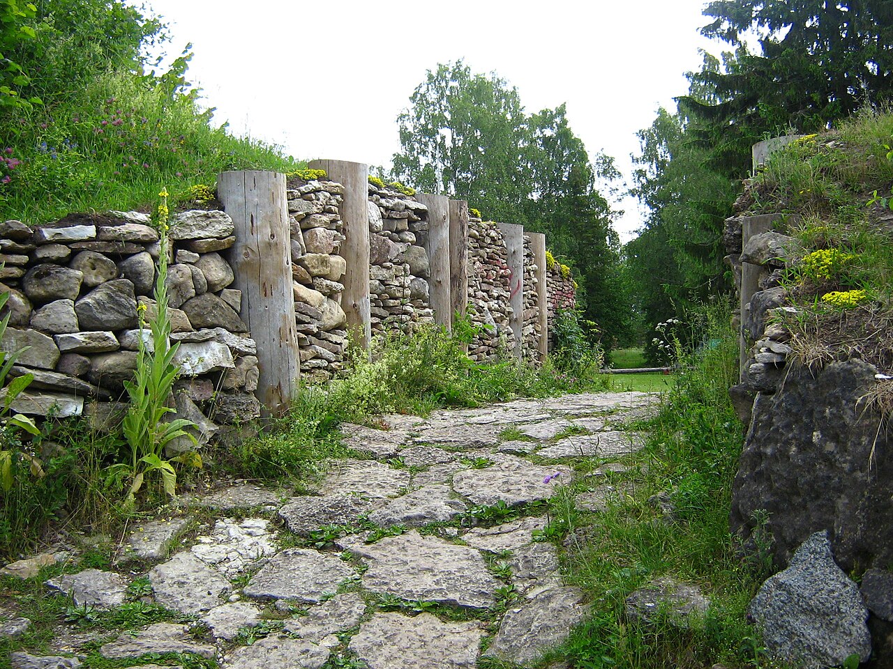
The Varbola Stronghold (Latin: Castrum Warbole, Estonian: Varbola Jaanilinn) was the largest circular rampart fortress and trading centre built in Estonia, in Harju County (Latin: Harria) in the 10th – 12th centuries. Parts of the ruins of the 580-metre (1,900 ft) long and 8-to-10-metre (26 to 33 ft) high limestone wall of the fortress stand to this day. The long gateways with multiple gates were built to defend the entrances. In these sections higher defensive towers were erected. There was a 13-metre (43 ft) deep well in the middle of the fortress and the territory held about 90 structures with furnaces for accommodation built with limestone floors and foundations.
Text adapted from “Varbola Stronghold” on Wikipedia, CC BY-SA 4.0.
Varbola Stronghold ranks #2,892 of 9,035 worldwide in the atlas's castle fame ranking, and #20 of the 36 mapped in Estonia. Founded c. 950, it is older than 92% of the atlas's dated landmarks, one of 192 atlas entries founded in the 10th century. Its Wikipedia articles were opened 1,048 times in the last 60 days, more than 52% of the atlas. The nearest day-trip guide is Tallinn, 46 km away. See how Estonia compares in the castle statistics.
View on the interactive castle map →