Fortress
Walls of Ferrara
🇮🇹 Italy
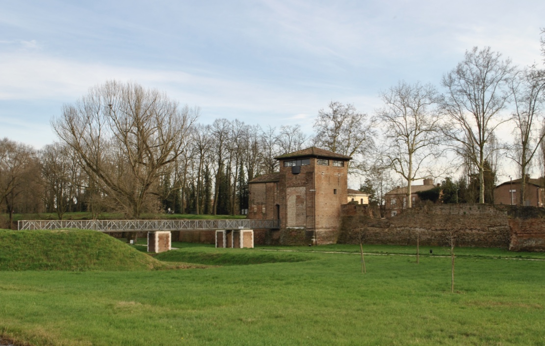
The walls of Ferrara are a fortified circuit that originally encircled the Este city completely, with a total length of about thirteen kilometres, now reduced to about nine kilometres. Their construction began in the Middle Ages and they were rebuilt between the 15th and 16th centuries.
Machine-translated from “Mura di Ferrara” on the Italian Wikipedia, CC BY-SA 4.0.
Walls of Ferrara ranks #5,734 of 8,764 worldwide in the atlas's castle fame ranking, and #420 of the 528 mapped in Italy. 5 more atlas landmarks stand within 25 km. The nearest day-trip guide is Ferrara, 2 km away. See how Italy compares in the castle statistics.
View on the interactive castle map →Frequently asked questions
Where is Walls of Ferrara?
Walls of Ferrara stands in Italy, at 44.82972°, 11.63272°.
How famous is Walls of Ferrara?
In this atlas's fame ranking: #5,734 of 8,764 worldwide, and #420 in Italy. Fame here combines how many Wikipedia language editions cover a landmark with how many people read them.
What is the nearest castle to Walls of Ferrara?
Palazzo Schifanoia, about 1 km away.
More castles in Italy
- Wolfsthurn Castle Italy
- Castello Brown Italy · 15th century
- Lerici Castle Italy · 12th century
- Monteriggioni Italy · 13th century
More fortresses
- St. John's Fort Malaysia
- Saluting Battery Malta · 16th century
- Sliema Point Battery Malta · 19th century
- St Anthony's Battery Malta · 18th century