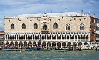
The closest is Castello Estense, 1 km south-east of the city centre; the most famous is Doge's Palace (#54 of 9,035 worldwide) 87 km north-east.
Every one of them stands in Italy: the country page shows the full national picture.
 Italy
89 castles, fortresses, palaces and ruins within 100 km of the city centre: every one on the interactive map, with photos, distances and directions.
The closest is Castello Estense, 1 km south-east of the city centre; the most famous is Doge's Palace (#54 of 9,035 worldwide) 87 km north-east.
Every one of them stands in Italy: the country page shows the full national picture.
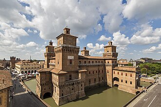
1 km south-east · Castle
The Castello Estense or castello di San Michele is a moated medieval castle in the center of Ferrara, northern Italy.
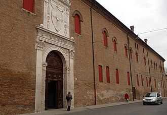
1 km south-east · Palace & château
Palazzo Schifanoia is a Renaissance palace in Ferrara, Emilia-Romagna built for the Este family.
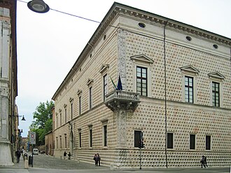
1 km north-east · Palace & château
The Palazzo dei Diamanti is a Renaissance palace located on Corso Ercole I d'Este 21 in Ferrara, a city in the Italian region of Emilia Romagna.
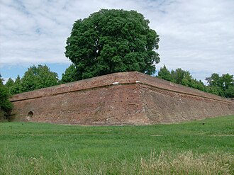
2 km south-east · Fortress
The walls of Ferrara are a fortified circuit that originally encircled the Este city completely, with a total length of about thirteen kilometres,…
19 km south-east · Palace & château
The Delizia del Verginese is one of the Este delights, a monumental residence that the House of Este had built near Portomaggiore, in what would…
1 km south-east · Ruin
The Castello dei Curtensi, also Castello dei Cortesi, was the old Byzantine castrum of Ferrara in the Italian region of Emilia-Romagna.
44 km south-west · Palace & château
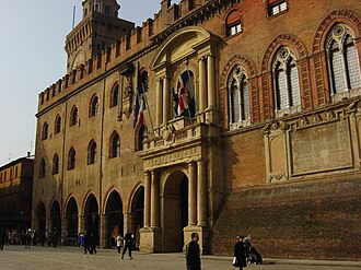
Palazzo d'Accursio is a palace once formulated to house major administrative offices of the city of Bologna, region of Emilia-Romagna, Italy.
58 km west · Palace & château
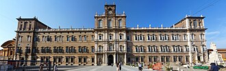
The Ducal Palace of Modena is a Baroque palace in Modena, Italy. It was the residence of the Este Dukes of Modena between 1452 and 1859.
44 km south-west · Palace & château
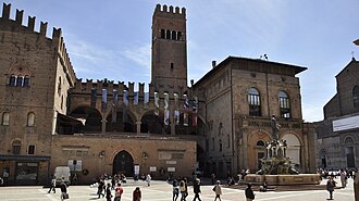
Palazzo Re Enzo is a palace located on Piazza del Nettuno, 1 in the historic center of Bologna, northern Italy.
44 km south-west · Palace & château
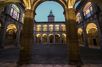
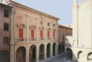
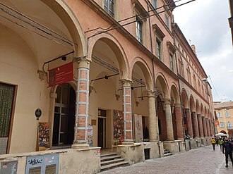
The Archiginnasio of Bologna is one of the most important buildings in the city of Bologna; once the main building of the University of Bologna, it…
44 km south-west · Palace & château
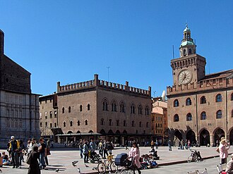
The Palazzo del Podestà is a civic building in Bologna, northern Italy. The edifice was built around 1200 as the seat of the local podestà, the…
44 km south-west · Palace & château
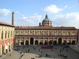
Palazzo dei Banchi is a Renaissance-style palace façade located on the eastern flank of the Piazza Maggiore in the center of Bologna, region of…
44 km west · Castle
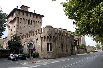
The Castle of the Pico is a castle in the city center of Mirandola, in the province of Modena, Italy.
44 km south-west · Palace & château
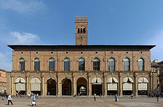
Palazzo dei Notai is a historic building in Bologna, Italy. It faces Piazza Maggiore, between the basilica di San Petronio and palazzo d'Accursio.
53 km north · Palace & château
Castello del Catajo is a patrician rural palace near the town of Battaglia Terme, province of Padua, north-eastern Italy built in 1573.
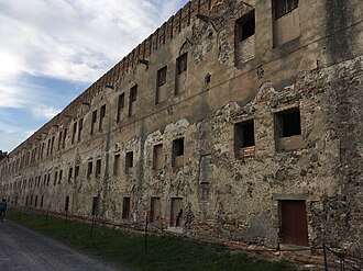
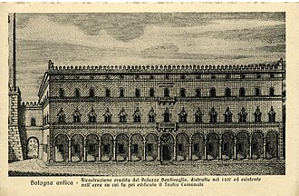
44 km south-west · Ruin
The original Palazzo Bentivoglio was a palace in Bologna, which was destroyed by a mob in 1507.
44 km south-west · Palace & château
Palazzo Magnani is a Renaissance palace located on Via Zamboni number 20 in central Bologna, region of Emilia Romagna, Italy, built by the Magnani…
44 km south-west · Palace & château
Palazzo Fava or Palazzo Fava-Ghisilieri is a historic palace at 2 via Manzoni in Bologna, now housing art exhibitions and the Caffè Letterario…
+ 4 more in this range: every one is on the interactive map.
87 km north-east · Palace & château · #54 worldwide
The Doge's Palace is a palace built in Venetian Gothic style, and one of the main landmarks of the city of Venice in northern Italy.
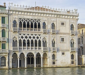
87 km north-east · Palace & château · #349 worldwide
The Ca' d'Oro, or Palazzo Santa Sofia, is a palace on the Grand Canal in Venice, northern Italy.
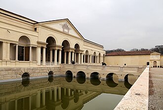
74 km north-west · Palace & château · #355 worldwide
Palazzo del Te, or simply Palazzo Te, is a palace in the suburbs of Mantua, Italy.
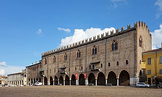
74 km north-west · Palace & château
The Palazzo Ducale in Mantua, also known as the Gonzaga Palace, is one of the city's main historic buildings.
86 km north-east · Palace & château
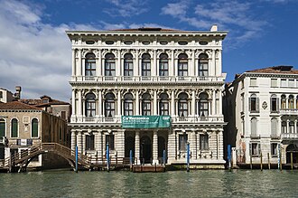
Ca' Rezzonico (Italian pronunciation: [ˈkaretˈtsɔːniko]) is a palazzo and art museum on the Grand Canal in the Dorsoduro sestiere of Venice, Italy.
96 km west · Ruin
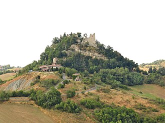
The Castle of Canossa is a castle in Canossa, province of Reggio Emilia, northern Italy, especially known for being the location of the Road to…
83 km north-west · Castle
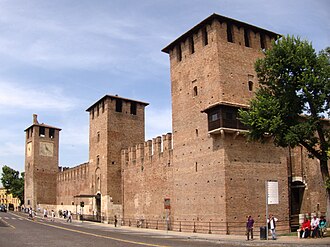
Castelvecchio is a castle in Verona, northern Italy. It is the most important military construction of the Scaliger dynasty that ruled the city in…
86 km north-east · Palace & château
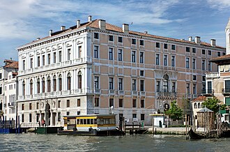
Palazzo Grassi is a building in the Venetian Classical style located on the Grand Canal of Venice, between the Palazzo Moro Lin and the campo San…
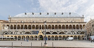
66 km north · Palace & château
The Palazzo della Ragione is a medieval market hall, town hall and palace of justice building in Padua, in the Veneto region of Italy.
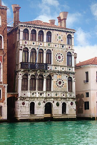
86 km north-east · Palace & château
The Palazzo Dario, known as Ca' Dario, is a palace located between the Palazzo Barbaro Wolkoff and the narrow Rio delle Torreselle on the Grand Canal…
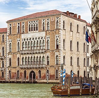
86 km north-east · Palace & château
Ca' Foscari, the palace of the Foscari family, is a Gothic building on the waterfront of the Grand Canal in the Dorsoduro sestiere of Venice, Italy.
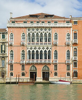
87 km north-east · Palace & château
Palazzo Pisani Moretta is a palace situated along the Grand Canal in Venice, Italy, between Palazzo Tiepolo and Palazzo Barbarigo della Terrazza.
+ 55 more in this range: every one is on the interactive map.
Distances are straight-line from the city centre. City coordinates and population: Wikidata Q13362.
The Castle Map atlas maps 89 landmarks (7 castles · 2 fortresses · 77 palaces & châteaux · 3 ruins) within 100 km of the centre of Ferrara, measured straight-line: a curated selection of well-documented landmarks, not a count of every fortification ever built.
Castello Estense, a castle 1 km south-east of the city centre.
Doge's Palace, ranked #54 of 9,035 worldwide in the atlas's fame ranking: 87 km north-east from Ferrara.
Nearby city guides: Bologna (44 km) · Padua (66 km) · Vicenza (79 km) · Venice (87 km). See also medieval castles · all rankings · castles by country.