Ruina
Kuh-e-Ghal'eh, Ferdows
🇮🇷 Irán
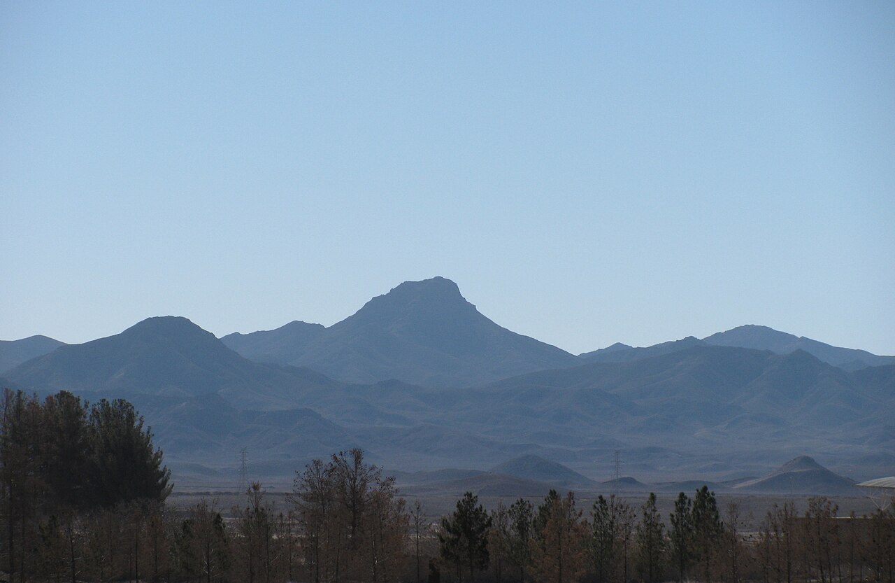
Ghal'eh Kuh de Ferdows (persa: قلعه کوه فردوس) es una fortaleza en ruinas situada en la cima del Kuh-e Ghal'eh (کوه قلعه), al sur de Ferdows (Tun), en la provincia de Jorasán del Sur, Irán. La fortaleza fue célebremente utilizada por los ismailíes nizaríes del período de Alamut, y fue el mayor bastión nizarí de la región de Quhistán, según el Tarikh-i Jahangushay.
Estaba conectada con la cercana Ghal'eh Kuh de Hasanabad (también conocida como Ghal'eh Dokhtar) y con la propia ciudad de Tun mediante pasadizos subterráneos secretos, descubiertos tras los terremotos de Dasht-e Bayaz y Ferdows de 1968.
La fortaleza fue destruida y quemada en mayo de 1256, tras su captura por los mongoles invasores al mando de Kitbuqa y Köke Ilgei.
Traducción automática de «Qal'eh Kuh of Ferdows» en la Wikipedia en inglés, CC BY-SA 4.0.
Kuh-e-Ghal'eh, Ferdows ocupa el puesto 5672 de 8134 en el mundo en la clasificación de fama de este atlas y el n.º 57 de los 170 que el atlas cartografía en Irán. Compara el dato en las estadísticas de castillos.
Ver en el mapa interactivo de castillos →Preguntas frecuentes
¿Dónde está Kuh-e-Ghal'eh, Ferdows?
La ruina se encuentra en Irán, en las coordenadas 33.91°, 58.13556°.
¿Qué puesto ocupa Kuh-e-Ghal'eh, Ferdows en la clasificación por fama?
En la clasificación por fama de este atlas: n.º 5672 de 8134 en el mundo, y n.º 57 en Irán. La fama combina en cuántas ediciones de Wikipedia aparece un monumento y cuánta gente las lee.
¿Qué castillo está más cerca de Kuh-e-Ghal'eh, Ferdows?
Bidesgan Castle, a unos 32 km.
Más castillos en Irán
- Mohammadabad Mud Castle Irán
- Saryazd Castle Irán
- Portuguese Castle (Qeshm) Irán
- Meimoon Ghal'eh Irán
Más ruinas
- Ain Umm el-Dabadib Egipto
- Castle Hackett Irlanda · siglo XIII
- Søborg Castle Dinamarca · siglo XII
- Burtnieki Castle Letonia · siglo XIV