Ruine
Kuh-e-Ghal'eh, Ferdows
🇮🇷 Iran
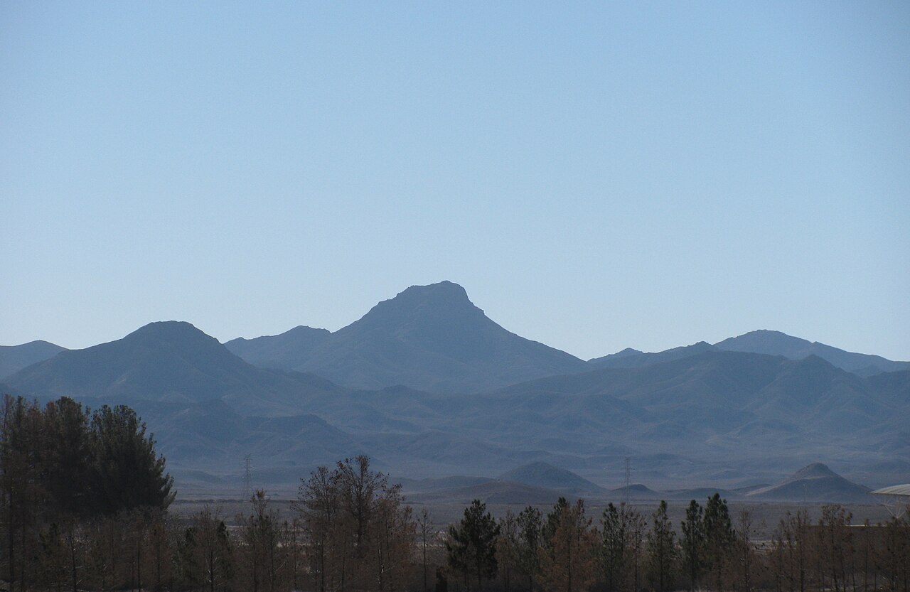
Le Ghal'eh Kuh de Ferdows (persan : قلعه کوه فردوس) est une forteresse en ruine au sommet du Kuh-e Ghal'eh (کوه قلعه), situé au sud de Ferdows (Tun), dans la province du Khorassan du Sud, en Iran. La forteresse fut célèbre pour avoir été utilisée par les ismaéliens nizarites de la période Alamut, et constituait le plus grand bastion nizarite de la région du Quhistan, selon le Tarikh-i Jahangushay.
Elle était reliée au Ghal'eh Kuh voisin de Hasanabad (également appelé Ghal'eh Dokhtar) et à la ville de Tun elle-même par des passages souterrains secrets, découverts après les séismes de Dasht-e Bayaz et de Ferdows de 1968.
La forteresse fut détruite et incendiée en mai 1256, après sa prise par les Mongols envahisseurs sous le commandement de Kitbuqa et de Köke Ilgei.
Traduction automatique de « Qal'eh Kuh of Ferdows » de la Wikipédia en anglais, CC BY-SA 4.0.
Kuh-e-Ghal'eh, Ferdows occupe la 5 672e place sur 8 134 au classement de renommée de cet atlas et le 57e rang des 170 que l’atlas recense en Iran. Voyez comment l’Iran se compare dans les statistiques des châteaux.
Voir sur la carte interactive des châteaux →Questions fréquentes
Où se trouve Kuh-e-Ghal'eh, Ferdows ?
Kuh-e-Ghal'eh, Ferdows se trouve en Iran, aux coordonnées 33.91°, 58.13556°.
Quelle est la renommée de Kuh-e-Ghal'eh, Ferdows ?
Au classement de renommée de cet atlas : 5 672e place sur 8 134 dans le monde, 57e place en Iran. La renommée combine le nombre d’éditions de Wikipédia qui couvrent un monument et leur lectorat.
Quel château est le plus proche de Kuh-e-Ghal'eh, Ferdows ?
Bidesgan Castle, à environ 32 km.
D’autres châteaux en Iran
- Mohammadabad Mud Castle Iran
- Saryazd Castle Iran
- Portuguese Castle (Qeshm) Iran
- Meimoon Ghal'eh Iran
D’autres ruines
- Ain Umm el-Dabadib Égypte
- Castle Hackett Irlande · XIIIe siècle
- Château de Søborg Danemark · XIIe siècle
- Burtnieki Castle Lettonie · XIVe siècle