Ruin
Kuh-e-Ghal'eh, Ferdows
🇮🇷 Iran
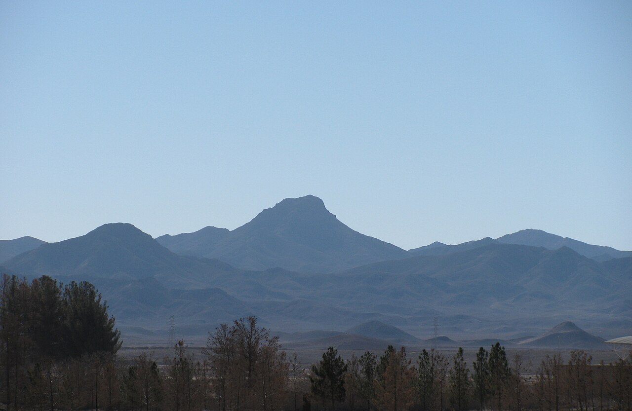
Ghal'eh Kuh of Ferdows (Persian: قلعه کوه فردوس) is a ruined fortress on top of Kuh-e Ghal'eh (کوه قلعه), located south of Ferdows (Tun) in South Khorasan Province, Iran. The fortress was famously used by the Nizari Ismailis of the Alamut period, and was the biggest Nizari stronghold in the Quhistan region, according to the Tarikh-i Jahangushay.
It was connected to the nearby Ghal'eh Kuh of Hasanabad (also known as Ghal'eh Dokhtar) and to the city of Tun itself via secret subterranean passages discovered after the 1968 Dasht-e Bayaz and Ferdows earthquakes.
The fortress was destroyed and burned in May 1256 after its capture by the invading Mongols under Kitbuqa and Köke Ilgei.
Text adapted from “Qal'eh Kuh of Ferdows” on Wikipedia, CC BY-SA 4.0.
Kuh-e-Ghal'eh, Ferdows ranks #5,672 of 8,134 worldwide in the atlas's castle fame ranking, and #57 of the 170 mapped in Iran. See how Iran compares in the castle statistics.
View on the interactive castle map →Frequently asked questions
Where is Kuh-e-Ghal'eh, Ferdows?
Kuh-e-Ghal'eh, Ferdows stands in Iran, at 33.91°, 58.13556°.
How famous is Kuh-e-Ghal'eh, Ferdows?
In this atlas's fame ranking: #5,672 of 8,134 worldwide, and #57 in Iran. Fame here combines how many Wikipedia language editions cover a landmark with how many people read them.
What is the nearest castle to Kuh-e-Ghal'eh, Ferdows?
Bidesgan Castle, about 32 km away.
More castles in Iran
- Mohammadabad Mud Castle Iran
- Saryazd Castle Iran
- Portuguese Castle (Qeshm) Iran
- Meimoon Ghal'eh Iran
More ruins
- Ain Umm el-Dabadib Egypt
- Castle Hackett Ireland · 13th century
- Søborg Castle Denmark · 12th century
- Burtnieki Castle Latvia · 14th century