Ruïne
Kuh-e-Ghal'eh, Ferdows
🇮🇷 Iran
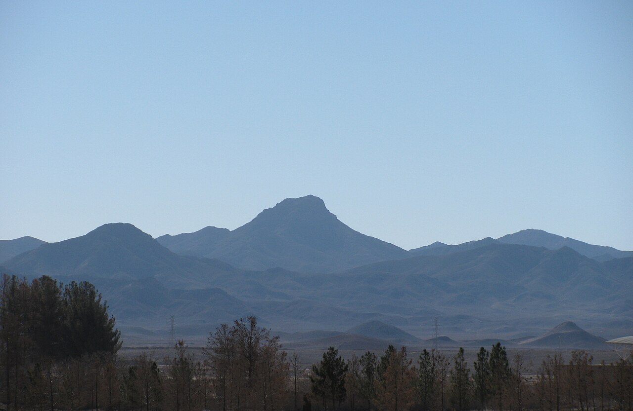
Ghal'eh Kuh van Ferdows (Perzisch: قلعه کوه فردوس) is een vervallen vesting op de top van de Kuh-e Ghal'eh (کوه قلعه), gelegen ten zuiden van Ferdows (Toen) in de provincie Zuid-Chorasan, Iran. De vesting werd op grote schaal gebruikt door de nizari-ismaïlieten van de Alamut-periode en was, volgens de Tarikh-i Jahangushay, het grootste nizari-bolwerk in de regio Quhistan.
Ze was verbonden met de nabijgelegen Ghal'eh Kuh van Hasanabad (ook bekend als Ghal'eh Dokhtar) en met de stad Toen zelf, via geheime ondergrondse gangen die werden ontdekt na de aardbevingen van Dasjt-e Bayaz en Ferdows in 1968.
De vesting werd in mei 1256 verwoest en in brand gestoken, na de verovering door de binnenvallende Mongolen onder Kitboeka en Köke Ilgei.
Machinaal vertaald uit “Qal'eh Kuh of Ferdows” op de Engelstalige Wikipedia, CC BY-SA 4.0.
Kuh-e-Ghal'eh, Ferdows staat op plaats 5.672 van 8.134 in de bekendheidsranglijst van deze atlas en op plaats 57 van de 170 die de atlas in Iran in kaart brengt. Zie hoe dat zich verhoudt in de kastelenstatistiek.
Bekijk op de interactieve kastelenkaart →Veelgestelde vragen
Waar ligt Kuh-e-Ghal'eh, Ferdows?
Kuh-e-Ghal'eh, Ferdows ligt in Iran, op 33.91°, 58.13556°.
Hoe bekend is Kuh-e-Ghal'eh, Ferdows?
In de bekendheidsranglijst van deze atlas: plaats 5.672 van 8.134 wereldwijd, plaats 57 in Iran. Bekendheid combineert het aantal Wikipedia-taalversies met het aantal lezers.
Welk kasteel ligt het dichtst bij Kuh-e-Ghal'eh, Ferdows?
Bidesgan Castle, ongeveer 32 km verderop.
Meer kastelen in Iran
- Mohammadabad Mud Castle Iran
- Saryazd Castle Iran
- Portuguese Castle (Qeshm) Iran
- Meimoon Ghal'eh Iran
Meer ruïnes
- Ain Umm el-Dabadib Egypte
- Castle Hackett Ierland · 13e eeuw
- Søborg Slot Denemarken · 12e eeuw
- Burtnieki Castle Letland · 14e eeuw