Castillo
Wierickerschans
🇳🇱 Países Bajos · siglo XVII
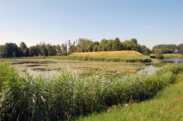
El fuerte Wierickerschans forma parte de la Antigua Línea de Agua Holandesa u «Oude Hollandse Waterlinie». Se trataba de un sistema de defensa que permitía inundar grandes extensiones del país (Holanda), protegiendo así las principales ciudades del oeste frente a fuerzas invasoras procedentes del este. Estuvo en uso hasta bien entrado el siglo XIX. El fuerte se construyó en el lugar donde en 1672 el estatúder Guillermo III (Guillermo de Orange, quien más tarde se convirtió en rey de Inglaterra) tuvo su cuartel general durante la guerra contra los franceses. El fuerte está situado en un punto central de la Antigua Línea de Agua Holandesa, que se extendía desde Muiden hasta el Biesbosch.
Traducción automática de «Wierickerschans» en la Wikipedia en inglés, CC BY-SA 4.0.
Wierickerschans ocupa el puesto 6714 de 8134 en el mundo en la clasificación de fama de este atlas y el n.º 120 de los 201 que el atlas cartografía en los Países Bajos. Su fundación, en 1673, es anterior a la del 25% de los monumentos datados del atlas — uno de los 626 monumentos del atlas fundados en el siglo XVII. En 25 km a la redonda hay otros 19 monumentos del atlas. La guía de excursión más cercana es Utrecht, a 23 km. Compara el dato en las estadísticas de castillos.
Ver en el mapa interactivo de castillos →Preguntas frecuentes
¿Dónde está Wierickerschans?
El castillo se encuentra en los Países Bajos, en las coordenadas 52.08167°, 4.78333°.
¿De qué año data Wierickerschans?
El atlas fija su fundación en 1673. Pudieron existir construcciones anteriores en el mismo lugar; este es el año documentado más antiguo.
¿Qué puesto ocupa Wierickerschans en la clasificación por fama?
En la clasificación por fama de este atlas: n.º 6714 de 8134 en el mundo, y n.º 120 en los Países Bajos. La fama combina en cuántas ediciones de Wikipedia aparece un monumento y cuánta gente las lee.
¿Qué castillo está más cerca de Wierickerschans?
Groot Poelgeest, a unos 14 km.
Más castillos en los Países Bajos
- Heeze Castle Países Bajos · siglo XVII
- Nijenborgh Castle Países Bajos · siglo XV
- Exaten Castle Países Bajos · siglo XVI
- Castle Millen Países Bajos · siglo XIV
Más castillos
- Dussen Castle Países Bajos · siglo XII
- Kasteel IJsselstein Países Bajos
- Kasteel Endegeest Países Bajos · siglo XIV
- Castillo de Amasra Turquía