Castle
Wierickerschans
🇳🇱 Netherlands · 17th century
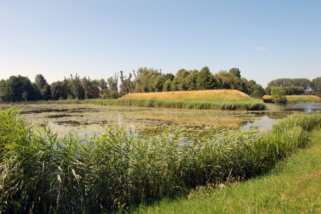
The Wierickerschans Fort is a part of the Old Dutch Waterline or "Oude Hollandse Waterlinie". This was a defence system that allowed large parts of the country (Holland) to be flooded (inundated). Thus protecting the main towns and city in the West against invading forces from the East. It was in use right up to the 19th century. The Fort was built on the site where in 1672 Stadtholder Willem III (William of Orange, who later became King of England) had his headquarters during the war against the French. The Fort is centrally located within the Old Dutch Waterline that stretched from Muiden down to the Biesbosch.
Text adapted from “Wierickerschans” on Wikipedia, CC BY-SA 4.0.
Wierickerschans ranks #6,714 of 8,134 worldwide in the atlas's castle fame ranking, and #120 of the 201 mapped in Netherlands. Founded 1673, it is older than 25% of the atlas's dated landmarks — one of 626 atlas entries founded in the 17th century. 19 more atlas landmarks stand within 25 km. The nearest day-trip guide is Utrecht, 23 km away. See how Netherlands compares in the castle statistics.
View on the interactive castle map →Frequently asked questions
Where is Wierickerschans?
Wierickerschans stands in the Netherlands, at 52.08167°, 4.78333°.
When was Wierickerschans built?
The atlas dates its founding to 1673. Earlier structures may have stood on the site; this is the earliest documented founding year.
How famous is Wierickerschans?
In this atlas's fame ranking: #6,714 of 8,134 worldwide, and #120 in the Netherlands. Fame here combines how many Wikipedia language editions cover a landmark with how many people read them.
What is the nearest castle to Wierickerschans?
Groot Poelgeest, about 14 km away.
More castles in the Netherlands
- Heeze Castle Netherlands · 17th century
- Nijenborgh Castle Netherlands · 15th century
- Exaten Castle Netherlands · 16th century
- Castle Millen Netherlands · 14th century
More castles
- Dussen Castle Netherlands · 12th century
- Kasteel IJsselstein Netherlands
- Kasteel Endegeest Netherlands · 14th century
- Amasra Castle Turkey