Forteresse
Caherconree
🇮🇪 Irlande
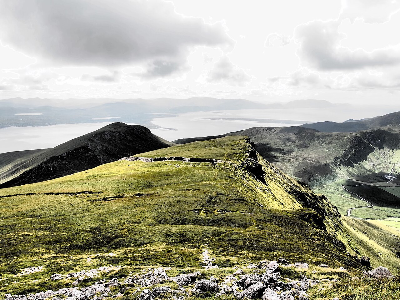
Caherconree (irlandais : Cathair Conraoi, signifiant « le fort de pierre de Cú Roí ») culmine à 835 mètres (2 740 pieds) et constitue le 20e plus haut sommet d'Irlande selon l'échelle Arderin, et le 27e plus haut selon l'échelle Vandeleur-Lynam. Caherconree est le deuxième plus haut sommet des Slieve Mish Mountains, dans la péninsule de Dingle, dans le comté de Kerry, en Irlande ; l'un de ses éperons méridionaux abrite un ancien promontoire fortifié en pierre, protégé en tant que monument national.
Traduction automatique de « Caherconree » de la Wikipédia en anglais, CC BY-SA 4.0.
Caherconree occupe la 3 472e place sur 8 134 au classement de renommée de cet atlas et le 49e rang des 173 que l’atlas recense en Irlande. Dans un rayon de 25 km se dressent 1 autres monuments de l’atlas. Le guide d’excursion le plus proche est Limerick, à 99 km. Voyez comment l’Irlande se compare dans les statistiques des châteaux.
Voir sur la carte interactive des châteaux →Questions fréquentes
Où se trouve Caherconree ?
Caherconree se trouve en Irlande, aux coordonnées 52.19722°, -9.86278°.
Quelle est la renommée de Caherconree ?
Au classement de renommée de cet atlas : 3 472e place sur 8 134 dans le monde, 49e place en Irlande. La renommée combine le nombre d’éditions de Wikipédia qui couvrent un monument et leur lectorat.
Quel château est le plus proche de Caherconree ?
Ballymalis Castle, à environ 17 km.
D’autres châteaux en Irlande
- Château de Dromoland Irlande · XIXe siècle
- Château de Portumna Irlande · XVIIe siècle
- Castle Leslie Irlande · XIXe siècle
- Château d'Ormonde Irlande · XIVe siècle
D’autres forteresses
- Fort Crèvecœur (Ghana) Ghana · XVIIe siècle
- Attock Fort Pakistan · XVIe siècle
- Fort San Cristóbal (San Juan) Porto Rico · XVIIe siècle
- Arnala Fort Inde