Kasteel
Los Adaes
🇺🇸 Verenigde Staten · 18e eeuw
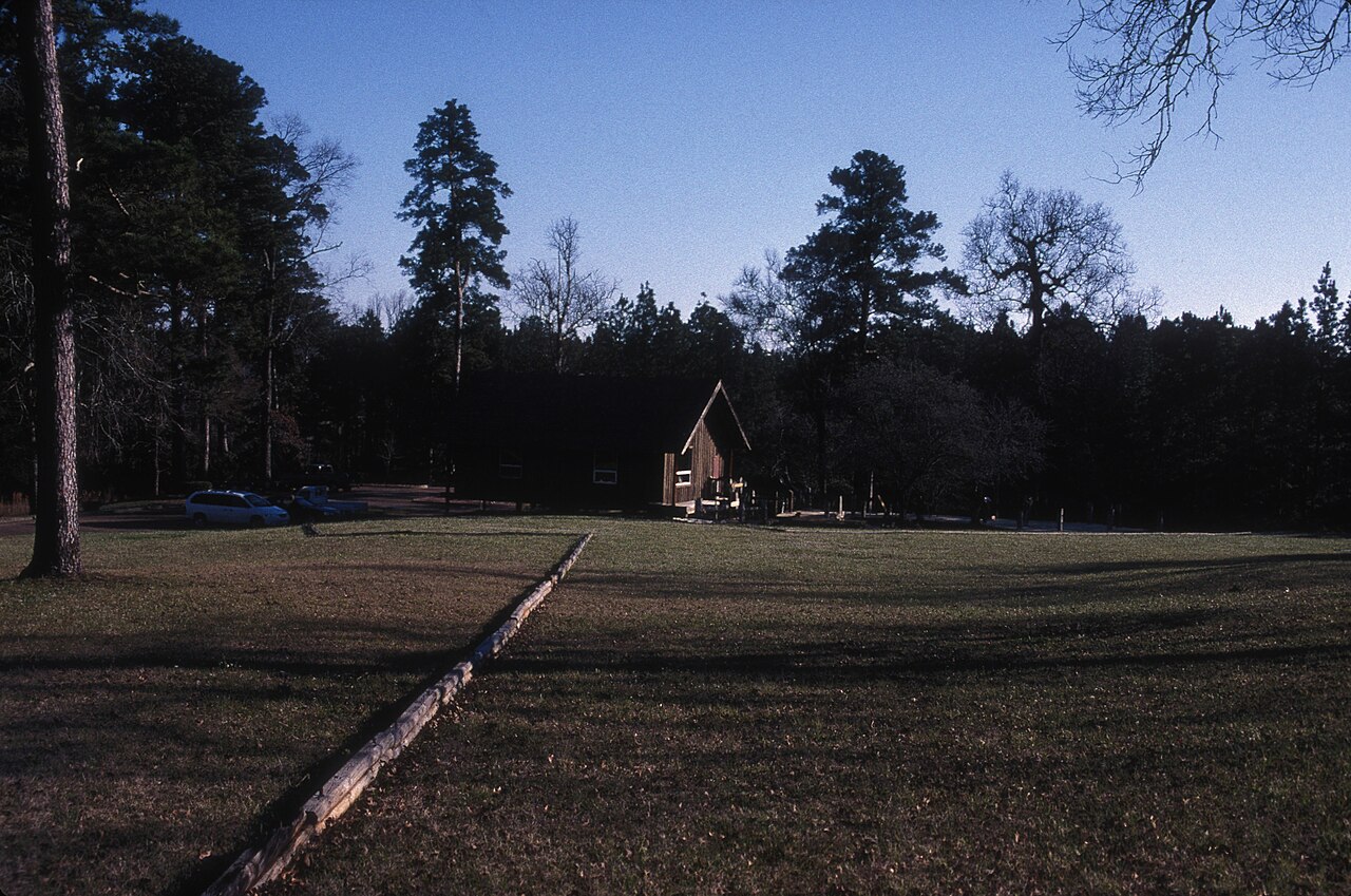
Los Adaes was van 1721 tot 1773 de hoofdstad van Tejas (Texas) aan de noordoostelijke grens van Nieuw-Spanje. Het omvatte een Franciscaner missiepost, San Miguel de Cuéllar de los Adaes, en een presidio, Nuestra Señora del Pilar de los Adaes (Onze-Lieve-Vrouw van de Pilaar van de Adaes). De naam Adaes is afgeleid van het inheemse volk der Adai, leden van de Caddo-confederatie van indianen, die de mensen waren die de missionarissen tot het christendom wilden bekeren. De presidio en de missiepost werden gesticht om de Franse invloed in het gebied van Louisiana tegen te gaan en Nieuw-Spanje (Mexico, met inbegrip van Texas) te verdedigen tegen een mogelijke inval of oprukken van de Fransen.
In 1763 kwam Louisiana onder Spaans gezag en was de buitenpost Los Adaes niet langer noodzakelijk voor de verdediging. In 1773 sloten de Spanjaarden de missiepost en de presidio en dwongen zij de bevolking om naar San Antonio te verhuizen.
De plek, nu bewaard binnen het door de staat beheerde Los Adaes State Historic Site, ligt aan Louisiana Highway 485 in het huidige Natchitoches Parish, Louisiana, nabij het dorp Robeline. Het werd in 1986 aangewezen als National Historic Landmark.
Machinaal vertaald uit “Los Adaes” op de Engelstalige Wikipedia, CC BY-SA 4.0.
Los Adaes staat op plaats 3.440 van 8.134 in de bekendheidsranglijst van deze atlas en op plaats 66 van de 103 die de atlas in de Verenigde Staten in kaart brengt. Gebouwd in 1721, en daarmee ouder dan 21% van de gedateerde bouwwerken in de atlas — een van de 556 bouwwerken in de atlas die uit de 18e eeuw stammen. De Wikipedia-artikelen erover werden de afgelopen 60 dagen 1.882 keer geopend, meer dan 65% van de atlas. Binnen 25 km staan nog 1 andere bouwwerken uit de atlas. Zie hoe dat zich verhoudt in de kastelenstatistiek.
Bekijk op de interactieve kastelenkaart →Veelgestelde vragen
Waar ligt Los Adaes?
Los Adaes ligt in de Verenigde Staten, op 31.7086°, -93.2933°.
Wanneer werd Los Adaes gebouwd?
De atlas dateert de stichting op 1721. Er kunnen eerdere bouwwerken hebben gestaan; dit is het oudste gedocumenteerde bouwjaar.
Hoe bekend is Los Adaes?
In de bekendheidsranglijst van deze atlas: plaats 3.440 van 8.134 wereldwijd, plaats 66 in de Verenigde Staten. Bekendheid combineert het aantal Wikipedia-taalversies met het aantal lezers.
Welk kasteel ligt het dichtst bij Los Adaes?
Fort Jesup, ongeveer 15 km verderop.
Meer kastelen in de Verenigde Staten
- Fort Stanton Verenigde Staten · 19e eeuw
- Fort Loudoun Verenigde Staten · 18e eeuw
- Fort Negley Verenigde Staten
- Fort Pickens Verenigde Staten · 19e eeuw
Meer kastelen
- Kasteel van Mirwart België · 11e eeuw
- Dommeldange Castle Luxemburg · 17e eeuw
- Château de Coussac-Bonneval Frankrijk
- Château-Vieux Frankrijk · 15e eeuw