Vesting
Nimrod Fortress
🇸🇾 Syrië
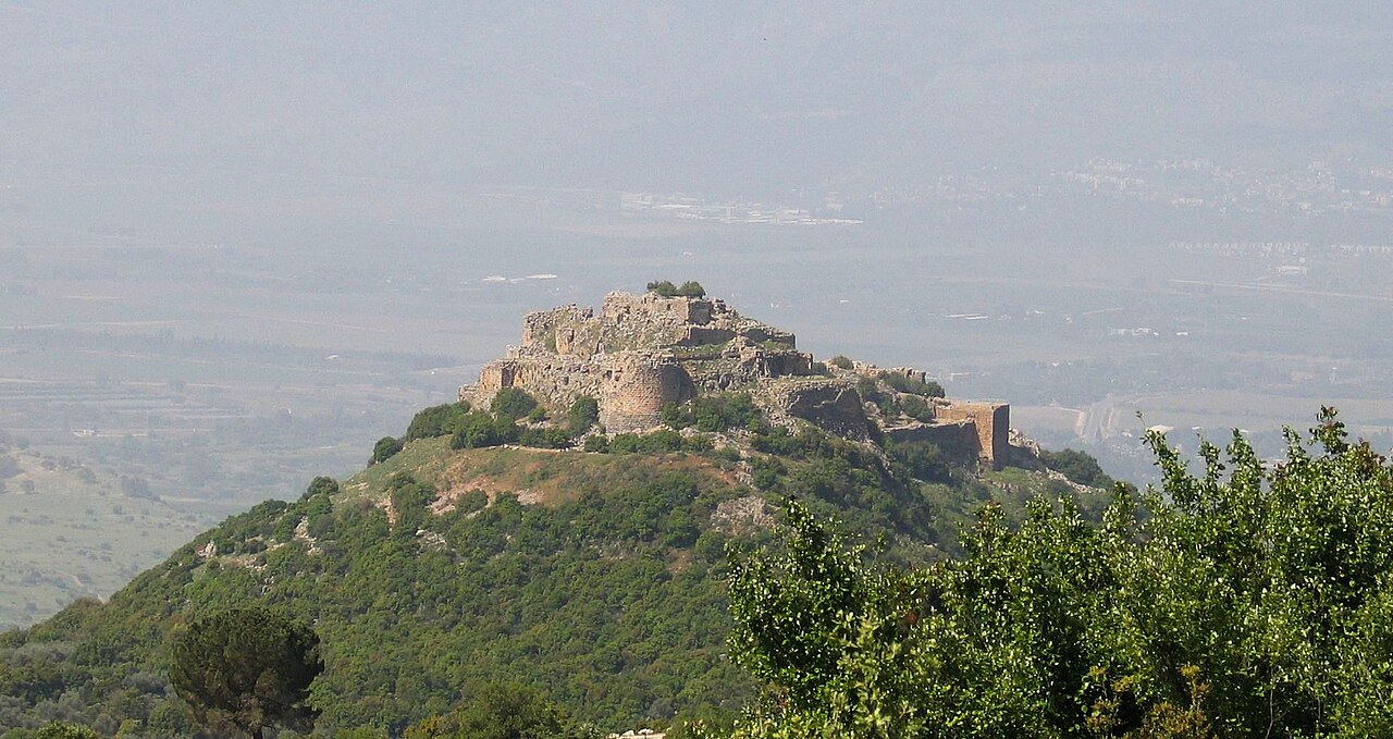
De Nimrod-vesting (Arabisch: قلعة الصبيبة Qal'at al-Subeiba, "Kasteel van de Grote Rots", later Qal'at Namrud, "Kasteel van Nimrod"; Hebreeuws: מבצר נמרוד, Mivtzar Nimrod, "Vesting van Nimrod"), ook wel Kasteel Nimrod genoemd, is een kasteel gebouwd door de Ayyubiden en aanzienlijk uitgebreid door de Mammelukken, gelegen op de zuidelijke hellingen van de berg Hermon, op een bergkam die ongeveer 800 m boven zeeniveau uitrijst. Het kijkt uit over de Golanhoogte en werd gebouwd om een belangrijke toegangsroute naar Damascus te bewaken tegen legers uit het westen.
Alternatieve vormen en spellingen zijn onder meer: Kal'at in plaats van Qal'at, het voorvoegsel as- in plaats van al-, en Subayba, Subaybah en Subeibeh in plaats van Subeiba. De associatie van de vesting met de bijbelse koning, machtige krijger en jager Nimrod, die in postkoranische islamitische interpretatieliteratuur als Nimrud verscheen, komt van de Druzen, die zich pas in de 19e eeuw in het gebied vestigden.
Het gebied staat sinds 1967, samen met de aangrenzende Golanhoogte, onder Israëlische bezetting en bestuur. De internationale gemeenschap beschouwt het gebied als Syrisch grondgebied.
Machinaal vertaald uit “Nimrod Castle” op de Engelstalige Wikipedia, CC BY-SA 4.0.
Nimrod Fortress staat op plaats 1.101 van 8.134 in de bekendheidsranglijst van deze atlas en op plaats 10 van de 38 die de atlas in Syrië in kaart brengt. De Wikipedia-artikelen erover werden de afgelopen 60 dagen 4.622 keer geopend, meer dan 84% van de atlas. Binnen 25 km staan nog 3 andere bouwwerken uit de atlas. De dichtstbijzijnde dagtripgids is Nabatiye, 26 km verderop. Dit is een van de 113 bouwwerken op de regiokaart de Levant. Zie hoe dat zich verhoudt in de kastelenstatistiek.
Bekijk op de interactieve kastelenkaart →Veelgestelde vragen
Waar ligt Nimrod Fortress?
Nimrod Fortress ligt in Syrië, op 33.25278°, 35.71472°.
Hoe bekend is Nimrod Fortress?
In de bekendheidsranglijst van deze atlas: plaats 1.101 van 8.134 wereldwijd, plaats 10 in Syrië. Bekendheid combineert het aantal Wikipedia-taalversies met het aantal lezers.
Welk kasteel ligt het dichtst bij Nimrod Fortress?
Hunin Fortress, ongeveer 16 km verderop.
Meer kastelen in Syrië
- Qasr ibn Wardan Syrië · 6e eeuw
- Masyaf Castle Syrië
- Abu Qubays Syrië
- Chastel Rouge Syrië
Meer vestingen
- Fredriksten Noorwegen · 17e eeuw
- Petrelë Fortress Albanië · 6e eeuw
- Tvrđa Kroatië · 18e eeuw
- São João Baptista de Ajudá Benin · 17e eeuw