Fortress
Nimrod Fortress
 Syria
- Location
- Golan Heights
- Coordinates
- 33.25278°, 35.71472°
- Open data
- Wikidata Q1404704
- Links
- Wikimedia Commons
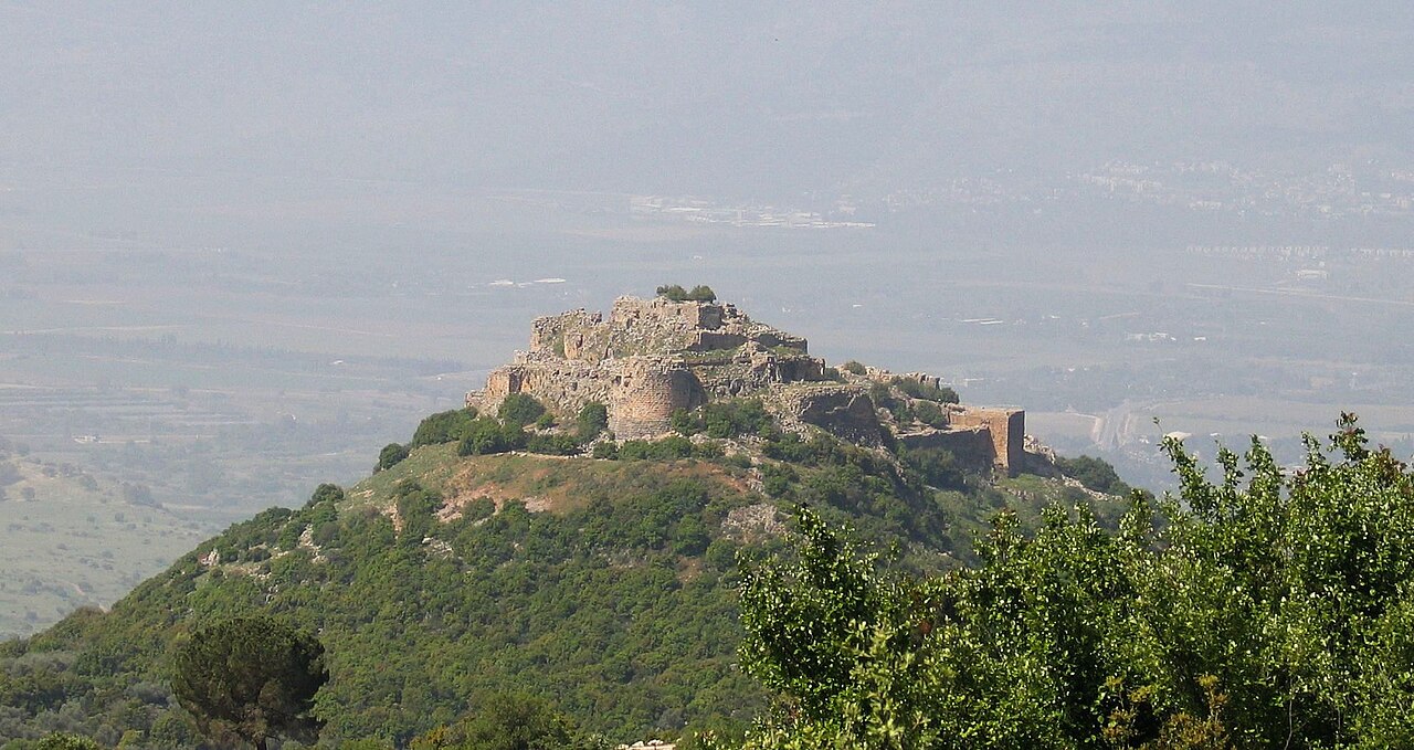
Description
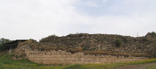
The Nimrod Fortress (Arabic: قلعة الصبيبة Qal'at al-Subeiba, "Castle of the Large Cliff", later Qal'at Namrud, "Nimrod's Castle"; Hebrew: מבצר נמרוד, Mivtzar Nimrod, "Nimrod's Fortress"), also called Nimrod Castle, is a castle built by the Ayyubids and greatly enlarged by the Mamluks, situated on the southern slopes of Mount Hermon, on a ridge rising about 800 m (2600 feet) above sea level. It overlooks the Golan Heights and was built with the purpose of guarding a major access route to Damascus against armies coming from the west.
Alternative forms and spellings include: Kal'at instead of Qal'at, the prefix as- instead of al-, and Subayba, Subaybah and Subeibeh in place of Subeiba. The association of the fortress with the biblical king, mighty warrior and hunter Nimrod, who entered post-koranic Islamic interpretive literature as Nimrud, came from the Druze, who only settled in the area in the 19th century.
The area is under Israeli occupation and administration since 1967 together with the adjacent Golan Heights. The international community sees the area as Syrian territory.
Text adapted from “Nimrod Castle” on Wikipedia, CC BY-SA 4.0.
In the rankings
Nimrod Fortress ranks #1,049 of 9,902 worldwide in the atlas's castle fame ranking, and #9 of the 38 mapped in Syria. Its Wikipedia articles were opened 4,265 times in the last 60 days, more than 86% of the atlas. 3 more atlas landmarks stand within 25 km. The nearest day-trip guide is Nabatieh, 26 km away. It is one of the 108 landmarks on the atlas's regional map of the Levant. See how Syria compares in the castle statistics.
Castles nearby
- Hunin Fortress
 16 km · Israel
- Beaufort Castle (Lebanon)
 19 km · Lebanon
- Doubay Castle22 km · Lebanon
- Ateret Fortress29 km · Israel
More castles in Syria
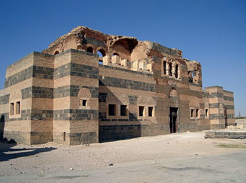
- Qasr ibn WardanSyria · 6th century
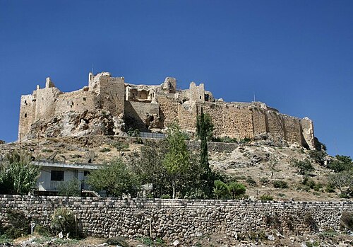
- Masyaf CastleSyria
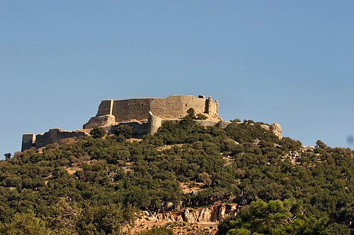
- Abu QubaysSyria
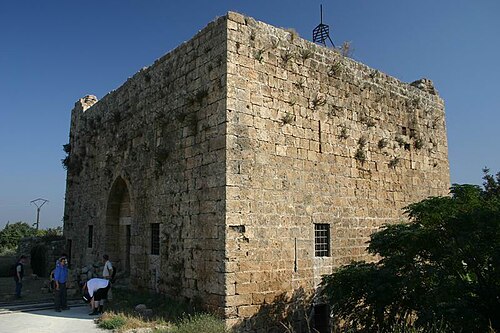
- Chastel RougeSyria