Ruina
Aniba
🇪🇬 Egipt · XXX wiek p.n.e.
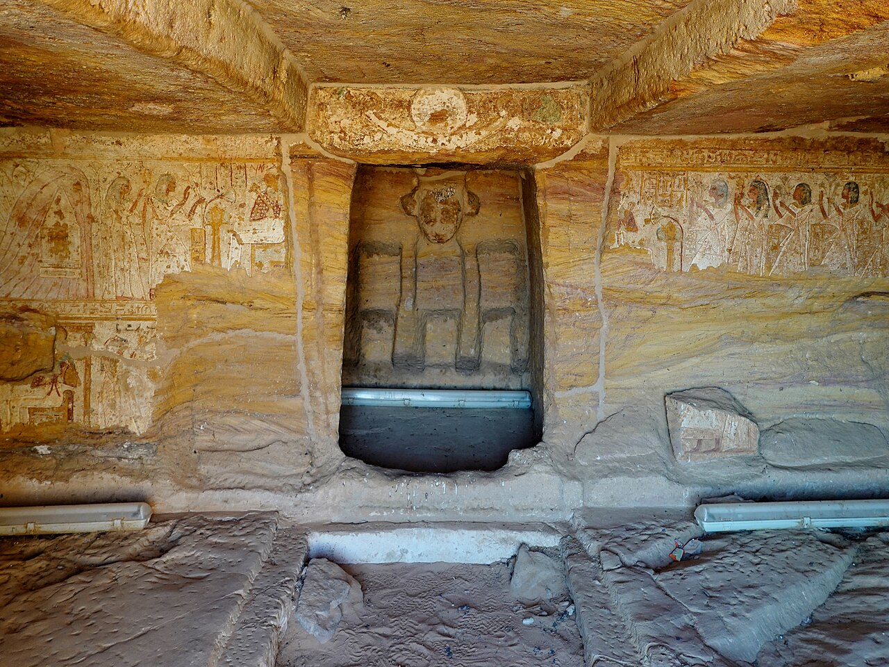
Aniba była wsią w Nubii, około 230 km na południe od Asuanu. Miejsce to jest dziś zatopione przez Jezioro Nasera. W starożytności było ważnym miastem zwanym Miam. Region wokół miasta należał do najżyźniejszych w Dolnej Nubii.
Najwcześniejsze pozostałości w Anibie datuje się na około 3000 r. p.n.e. i należą one do kultury grupy A. Odnaleziono tam kilka należących do niej cmentarzysk. W okresie Państwa Środka (ok. 2000–1700 r. p.n.e.) region znajdował się pod panowaniem egipskim, a w XII dynastii wzniesiono twierdzę wraz z niewielkim miastem. Na początku Nowego Państwa (ok. 1550 r. p.n.e.) miasto rozbudowano do rozmiarów około 200 x 400 m, otaczając je murem i bramami. W okresie Nowego Państwa miasto rozrastało się i posiadało kilka przedmieść. W obrębie właściwego miasta stała świątynia Horusa z Miam. Podczas wykopalisk okazała się być w złym stanie zachowania, lecz jej fundamenty można prawdopodobnie datować na okres Państwa Środka. Na północ od miasta znajdowała się nubijska wieś należąca do kultury grupy C.
Wokół miasta znajdowały się ogromne cmentarzyska, część z nich należała do Nubijczyków, ale inne groby wzniesiono w czysto egipskim stylu. Nie wiadomo z całą pewnością, czy pochowani tu ludzie byli Nubijczykami, którzy przyjęli kulturę egipską, czy rdzennymi Egipcjanami. Jeden dość prosty grobowiec należał do wicekróla Kusz, Pinehesy'ego, ważnej postaci znanej także z innych źródeł.
Ceramikę z tego stanowiska poddano niedawno ponownej analizie, a wiele grobów uznawanych pierwotnie za pochodzące z Nowego Państwa zidentyfikowano jako pochodzące z Drugiego Okresu Przejściowego, co zmieniło rozumienie chronologii tego stanowiska.
Wyroby metalowe z Aniby z okresu grupy C, Drugiego Okresu Przejściowego i Nowego Państwa poddano niedawno analizie i stwierdzono, że wykonano je z miedzi arsenowej i brązu cynowego, sprowadzanego prawdopodobnie aż z Cypru.
Tłumaczenie maszynowe artykułu „Aniba (Nubia)” w angielskiej Wikipedii, CC BY-SA 4.0.
Aniba zajmuje 2964. miejsce na 8134 w rankingu rozpoznawalności zamków tego atlasu i 16. wśród 37 obiektów w Egipcie. Data powstania — ok. 3000 p.n.e., wcześniejsza niż u 99% datowanych obiektów atlasu. Zobacz w statystykach zamków, jak wypada Egipt.
Zobacz na interaktywnej mapie zamków →Najczęstsze pytania
Gdzie znajduje się Aniba?
Aniba znajduje się w Egipcie, na współrzędnych 22.73056°, 32.00306°.
Z którego roku pochodzi Aniba?
Atlas podaje rok powstania: ok. 3000 p.n.e. Wcześniejsze budowle mogły stać w tym miejscu — to najstarszy udokumentowany rok.
Które miejsce w rankingu zajmuje Aniba?
W rankingu rozpoznawalności tego atlasu: 2964. miejsce na 8134, 16. miejsce w Egipcie. Rozpoznawalność łączy liczbę wersji językowych Wikipedii z liczbą czytelników.
Aniba — który zamek leży najbliżej?
Shalfak, około 165 km stąd.
Inne zamki w Egipcie
- Pałac Heliopolis Egipt · XX wiek
- Al-Gawhara Palace Egipt · XIX wiek
- Nachl Egipt · XVI wiek
- Palais d’Antoniadis Egipt · XIX wiek
Inne obiekty: ruiny
- Pukará de Quitor Chile · XIII wiek
- Bozhenishki Urvich Bułgaria
- Ranigat Pakistan
- Château de Lusignan Francja · X wiek