Twierdza
Fort Erie
🇨🇦 Kanada · XVIII wiek
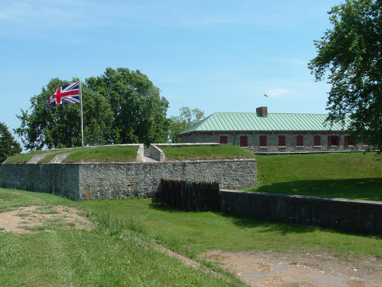
Stary Fort Erie, znany też jako Fort Erie lub Fort Erie National Historic Site of Canada, był pierwszym brytyjskim fortem wzniesionym w ramach sieci umocnień rozbudowanej po wojnie siedmioletniej (w koloniach zwanej „wojną francusko-indiańską”), zakończonej traktatem paryskim z 1763 roku, na mocy którego Francja odstąpiła Wielkiej Brytanii swoje terytoria na wschód od Missisipi (całą Nową Francję). Instalacja położona jest na południowym skraju dzisiejszego miasta Fort Erie w Ontario, dokładnie naprzeciwko rzeki Niagara od Buffalo w stanie Nowy Jork w Stanach Zjednoczonych.
Fort wraz z okalającym go polem bitwy należy do Niagara Parks Commission, samofinansującej się agencji rządu prowincji Ontario, i jest przez nią zarządzany.
Tłumaczenie maszynowe artykułu „Old Fort Erie” w angielskiej Wikipedii, CC BY-SA 4.0.
Fort Erie zajmuje 2672. miejsce na 8134 w rankingu rozpoznawalności zamków tego atlasu i 12. wśród 25 obiektów w Kanadzie. Data powstania — 1764, wcześniejsza niż u 16% datowanych obiektów atlasu — jeden z 556 obiektów atlasu powstałych w XVIII wieku. Artykuły o tym obiekcie w Wikipedii otwarto 1964 razy w ciągu ostatnich 60 dni — więcej niż 66% obiektów atlasu. Najbliższy przewodnik na jednodniowy wypad to Buffalo, 4 km stąd. Zobacz w statystykach zamków, jak wypada Kanada.
Zobacz na interaktywnej mapie zamków →Najczęstsze pytania
Gdzie znajduje się Fort Erie?
Fort Erie znajduje się w Kanadzie, na współrzędnych 42.89325°, -78.92382°.
Z którego roku pochodzi Fort Erie?
Atlas podaje rok powstania: 1764. Wcześniejsze budowle mogły stać w tym miejscu — to najstarszy udokumentowany rok.
Które miejsce w rankingu zajmuje Fort Erie?
W rankingu rozpoznawalności tego atlasu: 2672. miejsce na 8134, 12. miejsce w Kanadzie. Rozpoznawalność łączy liczbę wersji językowych Wikipedii z liczbą czytelników.
Fort Erie — który zamek leży najbliżej?
Fort George (Ontario), około 41 km stąd.
Inne zamki w Kanadzie
- Prince of Wales Fort Kanada · XVIII wiek
- Fort Chambly Kanada · XVII wiek
- Fort York Kanada · XVIII wiek
- Craigdarroch Castle Kanada · XIX wiek
Inne obiekty: twierdze
- Trekroner Fort Dania · XVIII wiek
- Fort Mandan Stany Zjednoczone · XIX wiek
- Fort Clatsop Stany Zjednoczone · XIX wiek
- Fort Denison Australia · XVIII wiek