 Canada · 18th century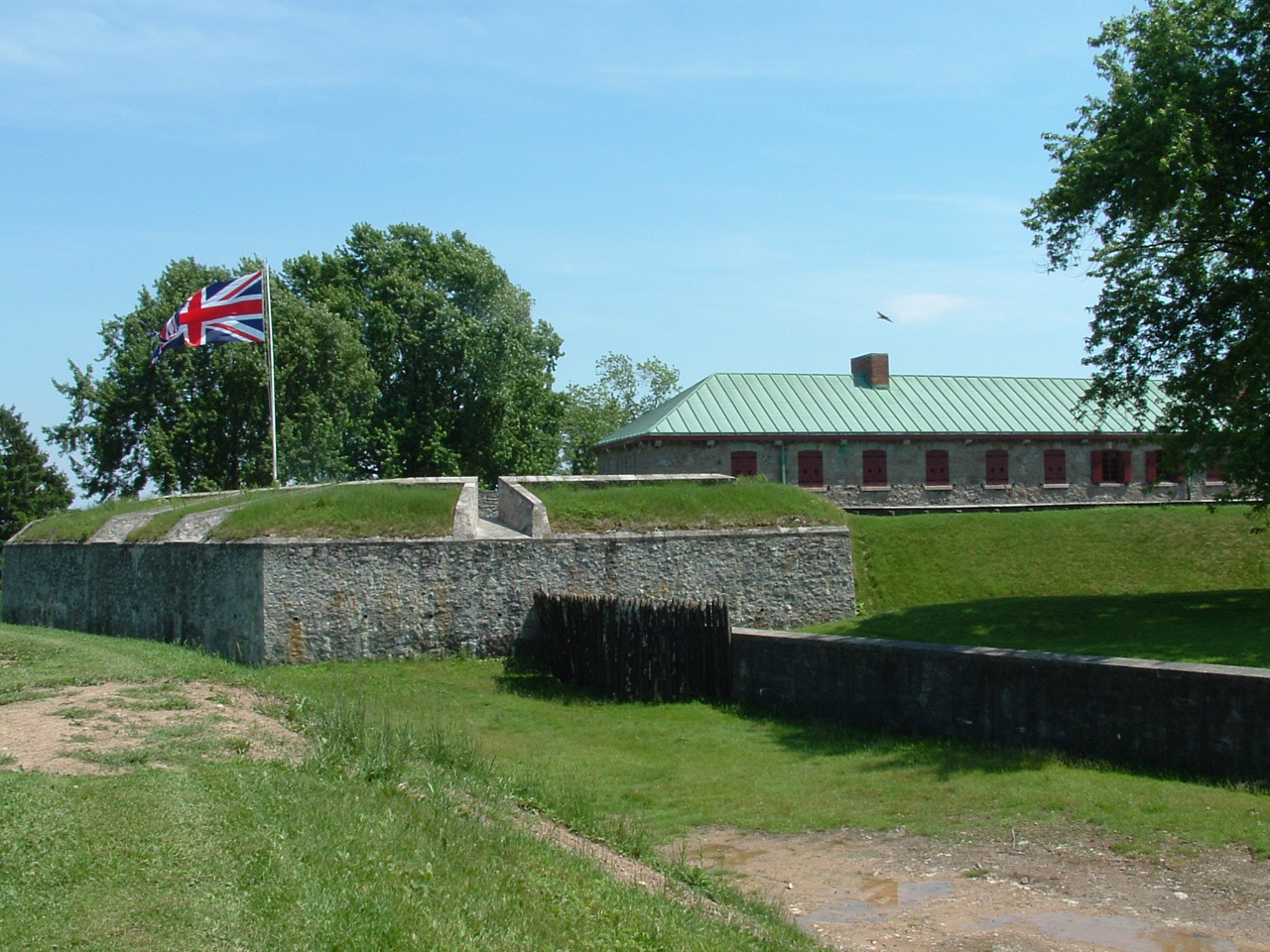
Old Fort Erie, also known as Fort Erie, or the Fort Erie National Historic Site of Canada, was the first British fort to be constructed as part of a network developed after the Seven Years' War (known as "the French and Indian War" in the colonies) was concluded by the Treaty of Paris (1763), at which time France ceded its territories east of the Mississippi River (all of New France) to Great Britain. The installation is located on the southern edge of what is now the Town of Fort Erie, Ontario, directly across the Niagara River from Buffalo, New York, United States.
The fort and surrounding battlefield are owned and operated by the Niagara Parks Commission, a self-funded agency of the Ontario provincial government.
Text adapted from “Old Fort Erie” on Wikipedia, CC BY-SA 4.0.
Fort Erie ranks #2,588 of 9,035 worldwide in the atlas's castle fame ranking, and #12 of the 26 mapped in Canada. Founded 1764, it is older than 15% of the atlas's dated landmarks, one of 685 atlas entries founded in the 18th century. Its Wikipedia articles were opened 1,964 times in the last 60 days, more than 69% of the atlas. The nearest day-trip guide is Buffalo, 4 km away. See how Canada compares in the castle statistics.
View on the interactive castle map →