Vesting
Olde Fort Erie
Fort Erie · 🇨🇦 Canada · 18e eeuw
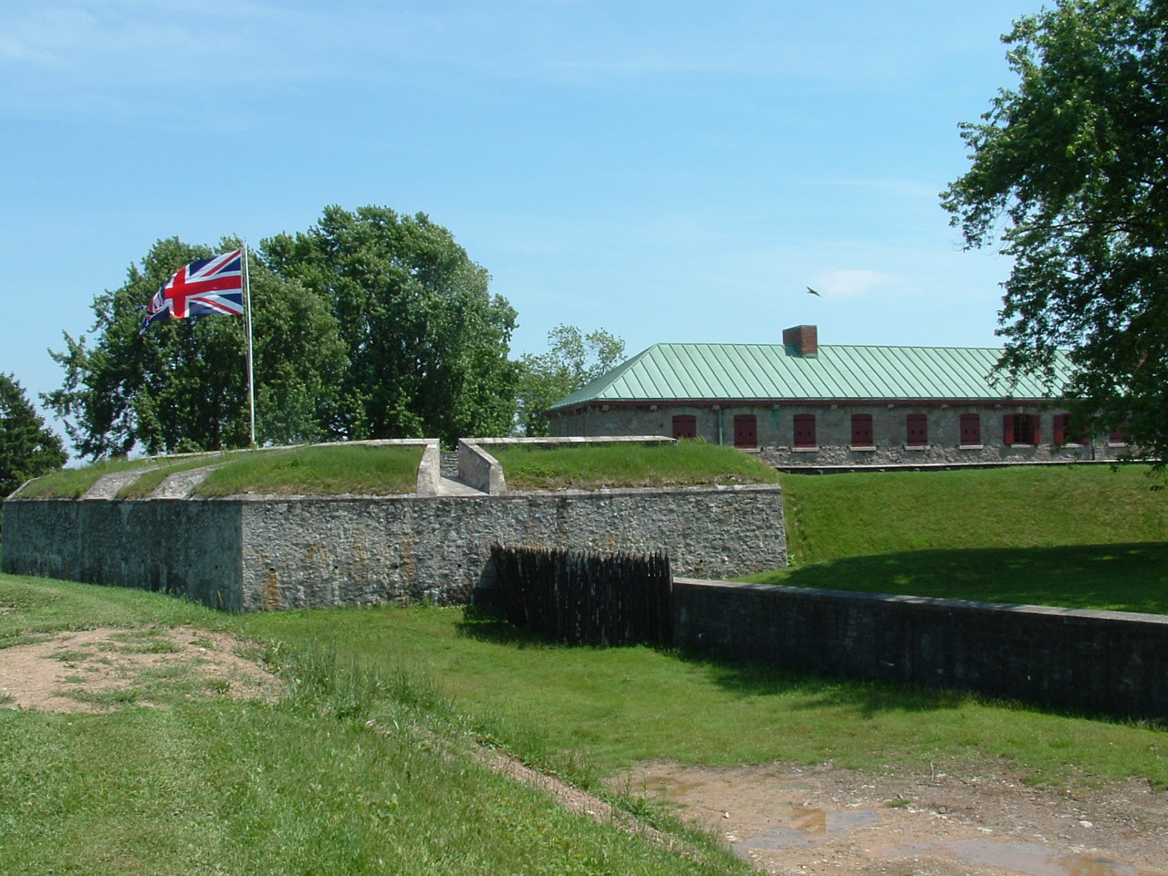
Old Fort Erie, ook bekend als Fort Erie of de Fort Erie National Historic Site of Canada, was het eerste Britse fort dat werd gebouwd als onderdeel van een netwerk dat werd ontwikkeld nadat de Zevenjarige Oorlog (in de koloniën bekend als "de Franse en Indiaanse Oorlog") was afgesloten met het Verdrag van Parijs (1763), waarbij Frankrijk zijn gebieden ten oosten van de Mississippi (heel Nieuw-Frankrijk) aan Groot-Brittannië afstond.
Machinaal vertaald uit “Old Fort Erie” op de Engelstalige Wikipedia, CC BY-SA 4.0.
Olde Fort Erie staat op plaats 2.672 van 8.134 in de bekendheidsranglijst van deze atlas en op plaats 12 van de 25 die de atlas in Canada in kaart brengt. Gebouwd in 1764, en daarmee ouder dan 16% van de gedateerde bouwwerken in de atlas — een van de 556 bouwwerken in de atlas die uit de 18e eeuw stammen. De Wikipedia-artikelen erover werden de afgelopen 60 dagen 1.964 keer geopend, meer dan 66% van de atlas. De dichtstbijzijnde dagtripgids is Buffalo, 4 km verderop. Zie hoe dat zich verhoudt in de kastelenstatistiek.
Bekijk op de interactieve kastelenkaart →Veelgestelde vragen
Waar ligt Olde Fort Erie?
Olde Fort Erie ligt in Canada, op 42.89325°, -78.92382°.
Wanneer werd Olde Fort Erie gebouwd?
De atlas dateert de stichting op 1764. Er kunnen eerdere bouwwerken hebben gestaan; dit is het oudste gedocumenteerde bouwjaar.
Hoe bekend is Olde Fort Erie?
In de bekendheidsranglijst van deze atlas: plaats 2.672 van 8.134 wereldwijd, plaats 12 in Canada. Bekendheid combineert het aantal Wikipedia-taalversies met het aantal lezers.
Welk kasteel ligt het dichtst bij Olde Fort Erie?
Fort George (Ontario), ongeveer 41 km verderop.
Meer kastelen in Canada
- Prince of Wales Fort Canada · 18e eeuw
- Fort Chambly Canada · 17e eeuw
- Fort York Canada · 18e eeuw
- Craigdarroch Castle Canada · 19e eeuw
Meer vestingen
- Fort Trekroner Denemarken · 18e eeuw
- Fort Mandan Verenigde Staten · 19e eeuw
- Fort Clatsop Verenigde Staten · 19e eeuw
- Fort Denison Australië · 18e eeuw