Ruin
Almare-Stäkets borg
🇸🇪 Sweden
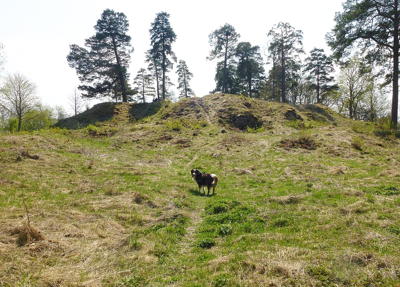
Almarestäket's castle (or Sankt Erik's castle) is a medieval castle ruin in Upplands-Bro municipality in Stockholm County. The complex is named after Eric IX of Sweden and was once one of Sweden's strongest and most famous castles, located at the important choke point of Almarestäket, a strait at the inlet to Lake Mälaren. Almarestäket's castle is listed as an ancient monument by the Swedish National Heritage Board.
Text adapted from “Almarestäket's castle” on Wikipedia, CC BY-SA 4.0.
Almare-Stäkets borg ranks #5,636 of 8,134 worldwide in the atlas's castle fame ranking, and #163 of the 206 mapped in Sweden. Its Wikipedia articles were opened 1,040 times in the last 60 days, more than 50% of the atlas. 30 more atlas landmarks stand within 25 km. The nearest day-trip guide is Stockholm, 22 km away. See how Sweden compares in the castle statistics.
View on the interactive castle map →Frequently asked questions
Where is Almare-Stäkets borg?
Almare-Stäkets borg stands in Sweden, at 59.46932°, 17.79255°.
How famous is Almare-Stäkets borg?
In this atlas's fame ranking: #5,636 of 8,134 worldwide, and #163 in Sweden. Fame here combines how many Wikipedia language editions cover a landmark with how many people read them.
What is the nearest castle to Almare-Stäkets borg?
Granhammar Castle, about 6 km away.
More castles in Sweden
- Bårby borg Sweden
- Styresholm Sweden
- Träby borg Sweden
- Ringstaholm Sweden
More ruins
- Castle of Jorcas Spain · 13th century
- Castillo de Giribaile Spain · 12th century
- Castillo de Madrona Spain · 12th century
- Castell de Rocabertí Spain