Ruin
Gåseborg
🇸🇪 Sweden
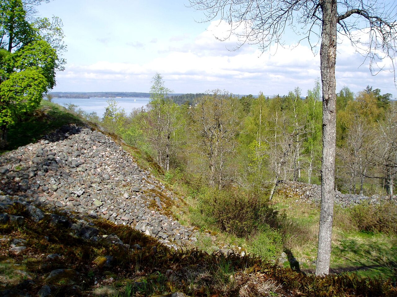
Gåseborg is a prehistoric hillfort in the Lake Mälaren district in Sweden. The scientists don't know for certain, but most likely it was built to supervise and control the water fairway below the fort, probably sometime during the late iron age (500-1100 AD). Several major fairways passed right here and from this place the local man in power could control the traffic to Uppsala, Sigtuna, Birka and the western districts of Lake Mälaren.
Text adapted from “Gåseborg” on Wikipedia, CC BY-SA 4.0.
Gåseborg ranks #6,993 of 8,134 worldwide in the atlas's castle fame ranking, and #199 of the 206 mapped in Sweden. 29 more atlas landmarks stand within 25 km. The nearest day-trip guide is Stockholm, 19 km away. See how Sweden compares in the castle statistics.
View on the interactive castle map →Frequently asked questions
Where is Gåseborg?
Gåseborg stands in Sweden, at 59.40167°, 17.76222°.
How famous is Gåseborg?
In this atlas's fame ranking: #6,993 of 8,134 worldwide, and #199 in Sweden. Fame here combines how many Wikipedia language editions cover a landmark with how many people read them.
What is the nearest castle to Gåseborg?
Almare-Stäkets borg, about 8 km away.
More castles in Sweden
- Bårby borg Sweden
- Styresholm Sweden
- Träby borg Sweden
- Ringstaholm Sweden
More ruins
- Castle of Jorcas Spain · 13th century
- Castillo de Giribaile Spain · 12th century
- Castillo de Madrona Spain · 12th century
- Castell de Rocabertí Spain