Fortress
Jaigad Fort
🇮🇳 India
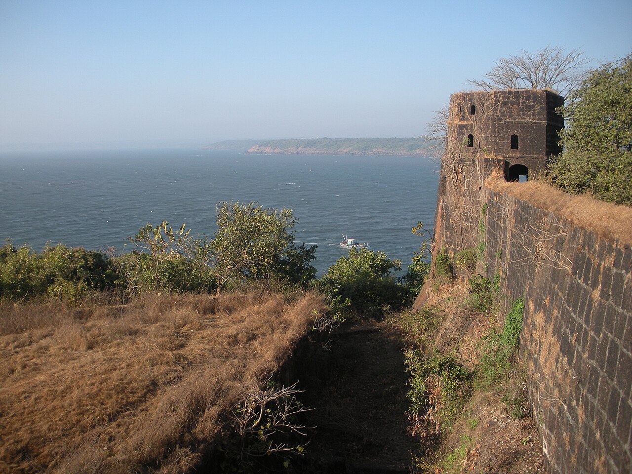
Jaigad Fort, Jayagaḍa killā) (Also transliterated as Zyghur in old British records.) is a coastal fortification that is located at the tip of a peninsula in Jaigad, Ratnagiri District at a distance of 14 km from the temple town of Ganpatipule, in the state of Maharashtra, India. Nestled on a cliff, it overlooks a bay formed where the Shastri river enters the Arabian Sea.
It has a commanding view of the bay, the nearby power plant and the open sea. A jetty port Angrey, and a lighthouse is located nearby. Although in ruins, most of the fort's outer wall and ramparts still stand. A deep moat surrounds the fort side not facing the cliff edge. In the middle of the 13 acre fort lies the palace of Kanhoji Angre, a Ganpati temple and wells to store water. It is a protected monument.
Text adapted from “Jaigad Fort” on Wikipedia, CC BY-SA 4.0.
Jaigad Fort ranks #4,926 of 8,764 worldwide in the atlas's castle fame ranking, and #174 of the 220 mapped in India. See how India compares in the castle statistics.
View on the interactive castle map →Frequently asked questions
Where is Jaigad Fort?
Jaigad Fort stands in India, at 17.30212°, 73.2209°.
How famous is Jaigad Fort?
In this atlas's fame ranking: #4,926 of 8,764 worldwide, and #174 in India. Fame here combines how many Wikipedia language editions cover a landmark with how many people read them.
What is the nearest castle to Jaigad Fort?
Suvarnadurg Fort, about 59 km away.
More castles in India
- Jal Mahal (Narnaul) India · 16th century
- Kavaledurga Fort India · 9th century
- Lotus Mahal Pavilion India
- Mirjan Fort India
More fortresses
- Narnala Fort India · 10th century
- Tung Fort India · 16th century
- Vattakottai Fort India · 18th century
- Van der Wijck Fort Indonesia