 Ireland · 13th century
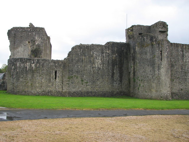
Ballymote Castle ranks #5,910 of 9,040 worldwide in the atlas's castle fame ranking, and #106 of the 178 mapped in Ireland. Founded 1300, it is older than 60% of the atlas's dated landmarks, one of 1091 atlas entries founded in the 13th century. 3 more atlas landmarks stand within 25 km. The nearest day-trip guide is Galway, 97 km away. See how Ireland compares in the castle statistics.
Ballymote Castle (Irish: Caisleán Bhaile an Mhóta) is a large rectangular keepless castle, built around 1300. It is located in the townland of Carrownanty on the outskirts of Ballymote in southern County Sligo, Ireland. This area was known historically as Átha Cliath an Chorainn, which roughly translates as The Ford of the Hurdles of Corann. It is the last of the Norman castles in Connacht. It was probably built in order to protect the newly won possessions of Richard Óg de Burgh, 2nd Earl of Ulster (also known as the Red Earl), in County Sligo, some distance from an earlier motte.
Text adapted from “Ballymote Castle” on Wikipedia, CC BY-SA 4.0.
View on the interactive castle map →