Fortress
Bewcastle Roman Fort
 England · 2nd century
- Founded
- c. 150
- Location
- Bewcastle
- Coordinates
- 55.06395°, -2.68205°
- Open data
- Wikidata Q3078392
- Links
- Wikimedia Commons
Description
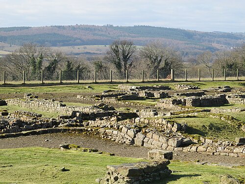
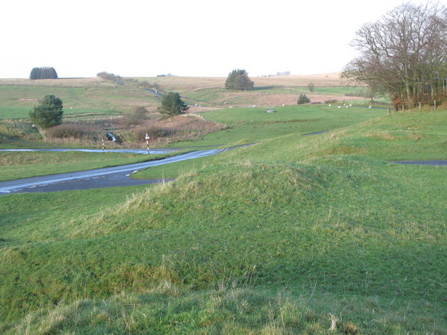
Bewcastle Roman Fort was built to the north of Hadrian's Wall as an outpost fort possibly intended for scouting and intelligence. The remains of the fort are situated at the village of Bewcastle, Cumbria, 7 miles (11 km) to the north of the Roman fort at Birdoswald, on Hadrian's Wall.
The Roman name for the fort was Fanum Cocidi (as recorded in the Ravenna Cosmography), and means 'The Shrine of Cocidius', a deity worshipped in northern Britain. The fort was identified as Fanum Cocidi on the basis that, of nine altars discovered on the site, six are dedicated to the god Cocidius.
Text adapted from “Bewcastle Roman Fort” on Wikipedia, CC BY-SA 4.0.
In the rankings
Bewcastle Roman Fort ranks #4,468 of 9,902 worldwide in the atlas's castle fame ranking, and #314 of the 397 mapped in England. Founded c. 150, it is older than 98% of the atlas's dated landmarks, one of 22 atlas entries founded in the 2nd century. 14 more atlas landmarks stand within 25 km. The nearest day-trip guide is Newcastle upon Tyne, 69 km away. See how England compares in the castle statistics.
Castles nearby
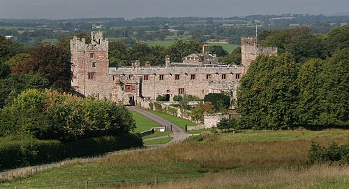
- Bewcastle Castle1 km · England
- Askerton Castle6 km · England
- Banna10 km · England
- Naworth Castle12 km · England
More castles in England
- MamuciumEngland · 1st century
- Aldborough Roman SiteEngland · 1st century
- CoriaEngland
- Castle DrogoEngland · 20th century