Fortress
Banna
 England · 2nd century
- Founded
- c. 150
- Location
- Waterhead
- Coordinates
- 54.98975°, -2.60324°
- Open data
- Wikidata Q2061016
- Links
- OpenStreetMap · Wikimedia Commons
Description
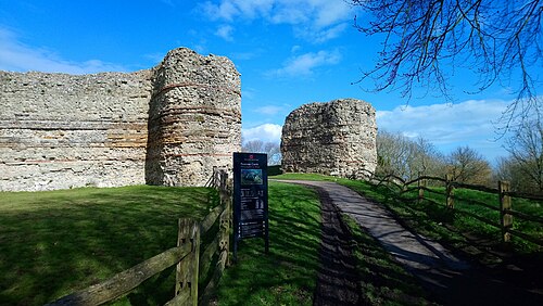
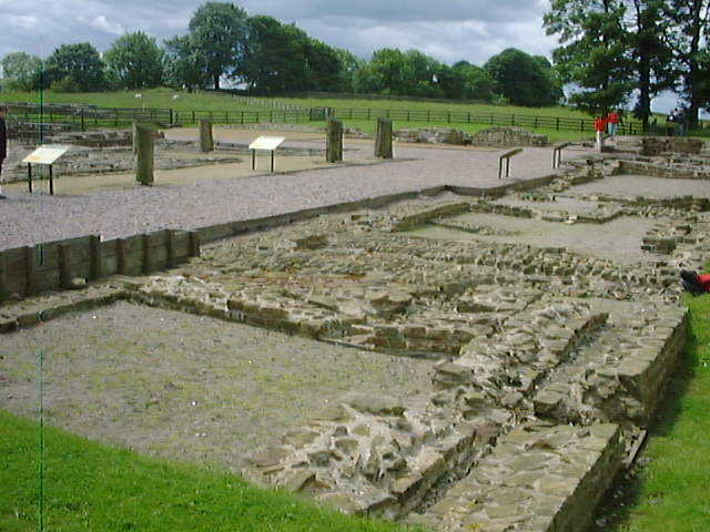
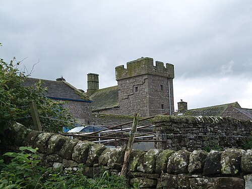
Birdoswald Roman Fort, known to the Romans as Banna, was one of the 16 forts on Hadrian's Wall. Built in the 2nd century AD, Banna, as a site, continued to be used well beyond Roman occupation. After a short period of desertion, the site was reoccupied around the 13th century and was used as a farm up until 1984.
Birdoswald lies towards the western end of Hadrian's Wall and is one of the best preserved forts along the wall. It is also attached to the longest surviving stretch of Hadrian's Wall. As of June 2023, over 200 students have worked on excavations at the site.
Cumbria County Council were responsible for the management of Birdoswald fort from 1984 until the end of 2004, when English Heritage assumed responsibility.
Text adapted from “Banna (Birdoswald)” on Wikipedia, CC BY-SA 4.0.
In the rankings
Banna ranks #3,248 of 9,902 worldwide in the atlas's castle fame ranking, and #245 of the 397 mapped in England. Founded c. 150, it is older than 98% of the atlas's dated landmarks, one of 22 atlas entries founded in the 2nd century. Its Wikipedia articles were opened 1,375 times in the last 60 days, more than 64% of the atlas. 16 more atlas landmarks stand within 25 km. The nearest day-trip guide is Newcastle upon Tyne, 63 km away. See how England compares in the castle statistics.
Castles nearby
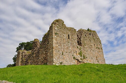
- Thirlwall Castle5 km · England
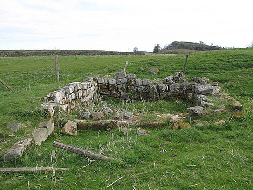
- Magna Roman Fort5 km · England
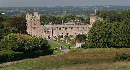
- Naworth Castle7 km · England
- Askerton Castle7 km · England
More castles in England
- Castrum AnderitumEngland · 3rd century
- Danebury Hill CampEngland · 6th century BC
- VindobalaEngland
- Mereworth CastleEngland · 18th century