 Germany · 11th century
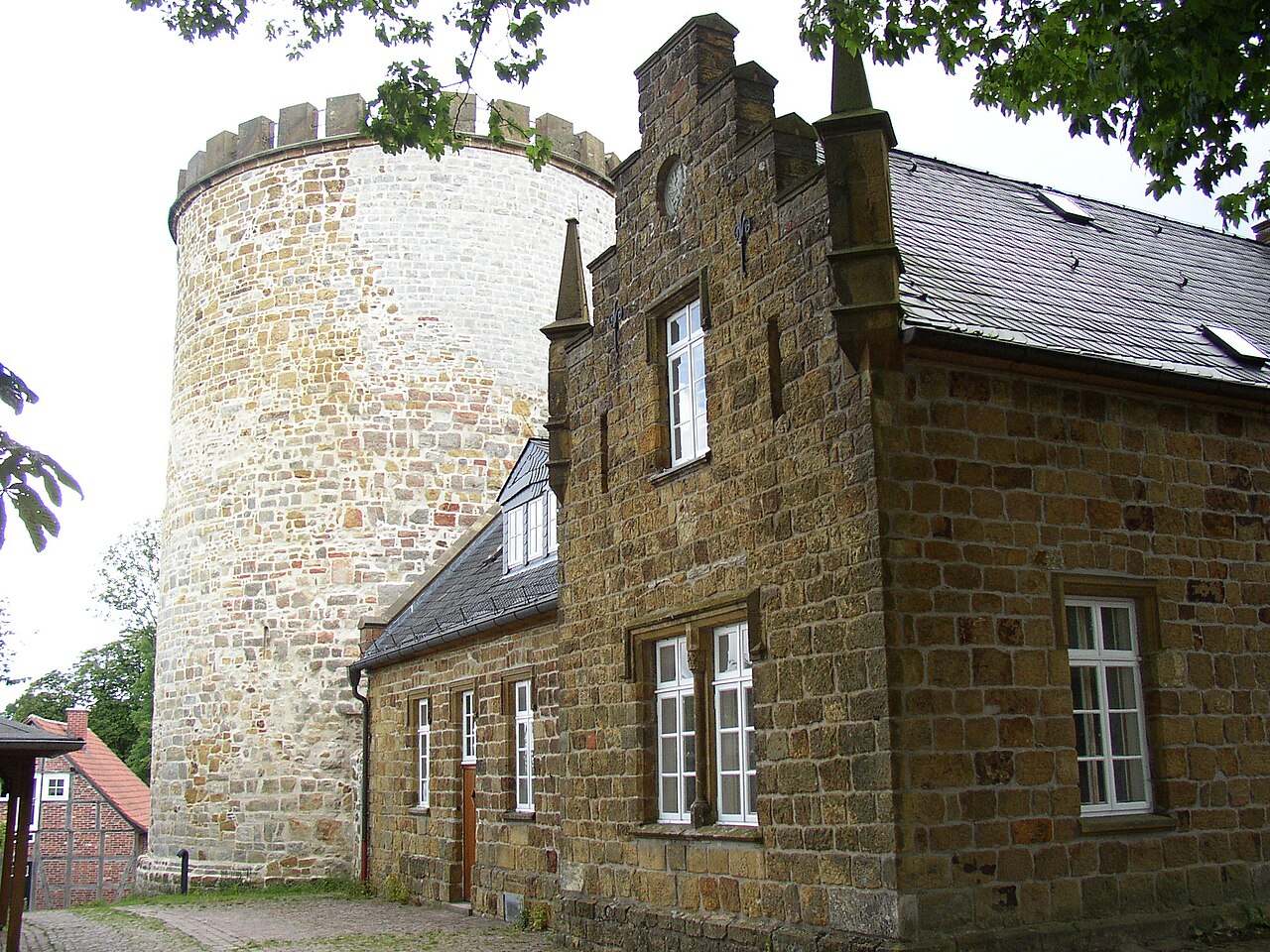
Burg Ravensberg ranks #5,141 of 9,040 worldwide in the atlas's castle fame ranking, and #438 of the 714 mapped in Germany. Founded 1080, it is older than 87% of the atlas's dated landmarks, one of 439 atlas entries founded in the 11th century. 2 more atlas landmarks stand within 25 km. The nearest day-trip guide is Enschede, 97 km away. See how Germany compares in the castle statistics.
Burg Ravensberg is a partly preserved hilltop castle complex in northeastern North Rhine-Westphalia and the name-giver of the County of Ravensberg; through the latter it is thus also indirectly the name-giver of the cultural landscape of the Ravensberger Land as well as of the natural region major unit of the Ravensberg Hills. The castle lies on a rise 269 m above sea level about 2.5 km south of Borgholzhausen (Gütersloh district) in the Teutoburg Forest. In terms of natural regions it lies in the sub-unit Haller Osning, which lies in the part-unit Osning Ridge, which in turn belongs to the major unit Bielefeld Osning; it therefore does not lie in the Ravensberg Hills indirectly named after it.
Machine-translated from “Burg Ravensberg” on the German Wikipedia, CC BY-SA 4.0.
View on the interactive castle map →