 France · 11th century
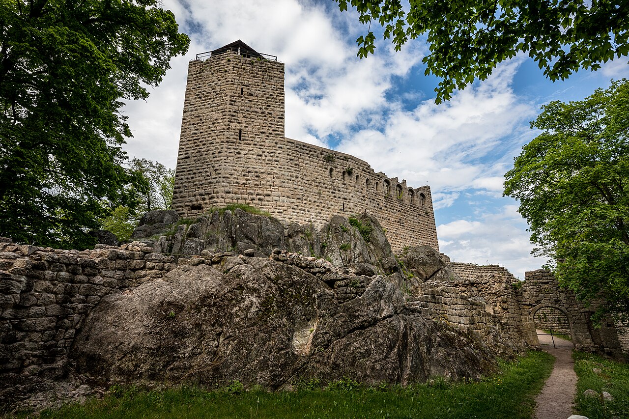
Château du Bernstein ranks #5,244 of 9,040 worldwide in the atlas's castle fame ranking, and #458 of the 787 mapped in France. Founded c. 1100, it is older than 85% of the atlas's dated landmarks, one of 439 atlas entries founded in the 11th century. 19 more atlas landmarks stand within 25 km. The nearest day-trip guide is Colmar, 27 km away. It is one of the 63 landmarks on the atlas's regional map of Alsace. It is stop 19 of 32 on the Alsace castle route, Wissembourg to Mulhouse. See how France compares in the castle statistics.
The Château du Bernstein (French pronunciation: [ʃato dy bɛʁnʃtain]) is a ruined castle in the commune of Dambach-la-Ville, in the Bas-Rhin département of France. It is situated at an altitude of 557 metres (1,827 ft).
Originally, the castle belonged to the Counts of Eguisheim Dabo. After the siege of 1227, it became the property of the bishop of Strasbourg and seat of the episcopal bailiffs until 1580. Abandoned from this date, the buildings fell into ruin.
Text adapted from “Château du Bernstein” on Wikipedia, CC BY-SA 4.0.
View on the interactive castle map →