 Ireland · 15th century
Burnchurch Castle ranks #6,212 of 9,040 worldwide in the atlas's castle fame ranking, and #115 of the 178 mapped in Ireland. Founded c. 1450, it is older than 46% of the atlas's dated landmarks, one of 556 atlas entries founded in the 15th century. 6 more atlas landmarks stand within 25 km. The nearest day-trip guide is Waterford, 37 km away. See how Ireland compares in the castle statistics.
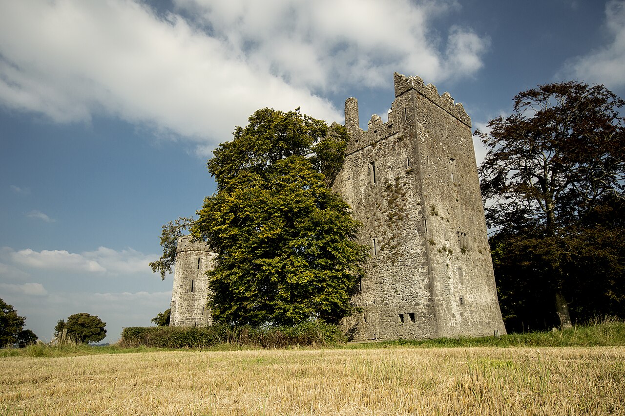
Burnchurch Castle is a well-preserved 15th century Norman tower house with a round gate tower, located in the parish of Burnchurch, County Kilkenny, Ireland. Burnchurch Castle and tower, along with the nearby Church of Ireland church and lime trees, became a National Monument in 1993.
The tower house is said to have been built and owned by the Fitzgeralds of the house of Desmond in the 15th or 16th century. It continued to be occupied until 1817. It is 6.5 km (4.0 mi) south west of Kilkenny, off the Clonmel Road, 6 km from Ballybur near Cuffesgrange, outside the town of Callan, near to Kells Priory. It is located in Burnchurch parish and was in the barony of Shillelogher.
Text adapted from “Burnchurch Castle” on Wikipedia, CC BY-SA 4.0.
View on the interactive castle map →