 England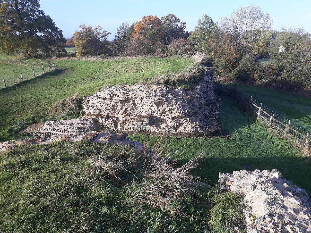
Calleva Atrebatum ("Calleva of the Atrebates") was an Iron Age oppidum, the capital of the Atrebates tribe. It then became a walled town in the Roman province of Britannia, at a major crossroads of the roads of southern Britain.
The modern village of Silchester in Hampshire, England, is about a mile (1.6 km) to the west of the site. The village's parish church of St Mary the Virgin is just within the ancient walls. Most of the site lies within the modern civil parish of Silchester, although the amphitheatre is in the adjoining civil parish of Mortimer West End. The whole of the site is within the local authority district of Basingstoke and Deane and the county of Hampshire.
Text adapted from “Calleva Atrebatum” on Wikipedia, CC BY-SA 4.0.
Calleva Atrebatum ranks #1,567 of 9,079 worldwide in the atlas's castle fame ranking, and #101 of the 360 mapped in England. Its Wikipedia articles were opened 4,578 times in the last 60 days, more than 85% of the atlas. 6 more atlas landmarks stand within 25 km. The nearest day-trip guide is Basingstoke, 11 km away. See how England compares in the castle statistics.
View on the interactive castle map →